Chevrolet truck with a view of Ute Mountain. Find an old truck, with a view out the windshield, stick the camera in the cab, get it all framed up, include the prerequisite spider of a crack in the windshield for full authenticity. The nice condition of the cab interior finishes it off. And yep! … there you have it! Thanks for looking. G
Red barn San Luis Valley with Ute Mountain. The barn was very red all over, and now sits there hosting hawks, owls and the occasional photographer, and fading to a wonderful patina fitting of all old barns out there.
Ute Mountain twilight, heading home from Colorado, south to San Cristobal, NM this evening. The sight of Ute Mountain is a beacon on the horizon. It acknowledges, that at this point, it’s only forty minutes to home. Not far now!
Ute Mountain emerges from the clouds after last weekend’s snow storm. Ute Mountain is north of Taos on the road to Colorado and often appears protruding, fin like, moving through the clouds. It also creates it’s own weather system. I’ve often seen rain and snow falling solely on the dome of this extinct volcano, a major geological feature in the Taos Volcanic Field/Plateau. Here’s another image of Ute.
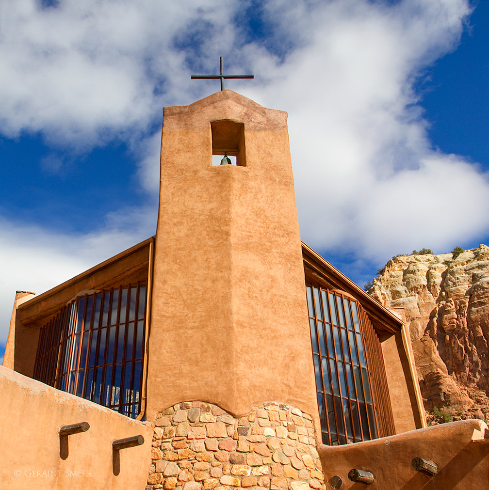
Adobe Route, Free Climbing Pigeons. “I got this… I got this!” at the St. Francis Church Ranchos de Taos, NM. I’m guessing here… perhaps they were eating seeds they discovered in the mud or bits of gravel for their crop. One thing I’m certain about, as I watched them work their way up the building, flying would have been the easier route to take. Thanks for looking. G
Ute Mountain, is a free standing extinct volcano in northern New Mexico rising 3000 feet above the valley floor on the Colorado border. It’s distinctive shape looms on the plateau and can be seen from many miles in any direction. It is a focal point landmark in the Rio Grande del Norte National Monument. In this image it is shrouded in cloud and can often be seen celebrating its own weather system.
After numerous years, the tree and Swainson’s Hawk’s nest near Ute Mountain on the plateau has finally succumbed to the elements. The nest, were it not for the fact that it is now three feet above the ground and within reach of predators, would have lasted for many more generations of raptors. The structure of the nest is bound together with an armature of barbed and bailing wire. I expect to see the tree disintegrate around it while the nest remains a reminder of what once was.
Greetings from San Cristobal, NM. I hope everyone had a great week. This week, a flashback to 21 years ago and photos I shot on the Chama River road to the desert monastery. I was looking for other subject matter, but went down a gopher hole and found myself looking at images of trips made with my friend Dwain and our kids.
Dwain is driving the truck in the photo. I saw it come over the rise in my rear view mirror, stopped got out and had him back down the hill and to drive my way again. This is the shot I got. It has been a best seller since and a true remembrance of a great friendship. This dead tree fell a few weeks later and no doubt wound up in someones campfire. Dwain passed away in 2010. I’ll always treasure our friendship
Dwains panel truck on the Chama River Road , NM
This was the time of year when the kids got out of school and the first camping trip of summer was always along the Chama River road. We went camping and made trips elsewhere but this was the first of the summer and always the favorite.
Below, if you expand the image you can see our camp site. The tall cottonwood fell down shortly after Dwain passed. Dwain was a master wood and stone carver. I like to picture Dwain and the cootonwood together wherever that may be.
Rio Chama campsite.
The view from our go to campsite. The kids favorite place to wallow in the river and sandy mud.
Chama river campsite view.
Ten minutes upstream is an old bridge with this vista.
Water in the desert.
Two minutes upstream for our campsite is this bend in the river. A tranquil spot to watch the river flow and the sun setting. The evening continued with marshmallows and smores and Dwain telling stories around the campfire.
Twilight on the Chama River.
As always, thanks for looking. Thanks for indulging me. Have a great week. G
Greetings from San Cristobal, NM. This week, I’m sharing images from a photo assignment for “AAA New Mexico Journeys Magazine”, all taken on a Llama Trekking adventure down into the Rio Grande Gorge with Wild Earth Llama Adventures in 2014. Over the years, I have worked on many stories for AAA Magazines. Maybe I’ll share more down the road.
I hope everyone had a good week. Enjoy these images down into the gorge, and the inevitable 700 ft climb out. But then again, the Llamas carry the weight.
The first task is to get acquainted with and choose your llama. Tough choice to settle on which one of these beauties.
Did you pick one?
•
Then, it’s load up and head out, or rather down.
Loading up the gear.
•
Starting the trek down into the gorge.
•
Down and down it goes.
•
Another switchback.
•
We all take a break, and our guide shares some local knowledge of the area with us.
Sharing local knowledge with the trekkers.
•
Rio Grande.
•
Wild watercress with lunch along the river near a spring.
Wild watercress.
•
After lunch, there’s plenty of time to explore the ancient petroglyphs in the immediate area.
Petroglyphs along the Rio Grande.
•
Corn woman petroglyph.
•
Our guide points out the route we took down into the gorge. We already know where we are going next… up, up, up!
Llama trekking, map of the route.
•
After a leisurely lunch and time exploring the area, we loaded up our new best friends and wound our way back along the river to where the trail made its way up out of the gorge to the rim of the Wild and Scenic Rivers Recreation Area.
Our guide, Stuart.
•
Sure footed.
Llama toes.
•
The trail up out of the Rio Grande Gorge, the final few yards.


