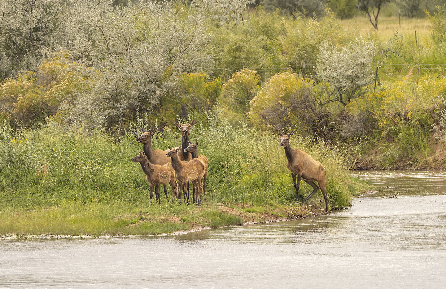
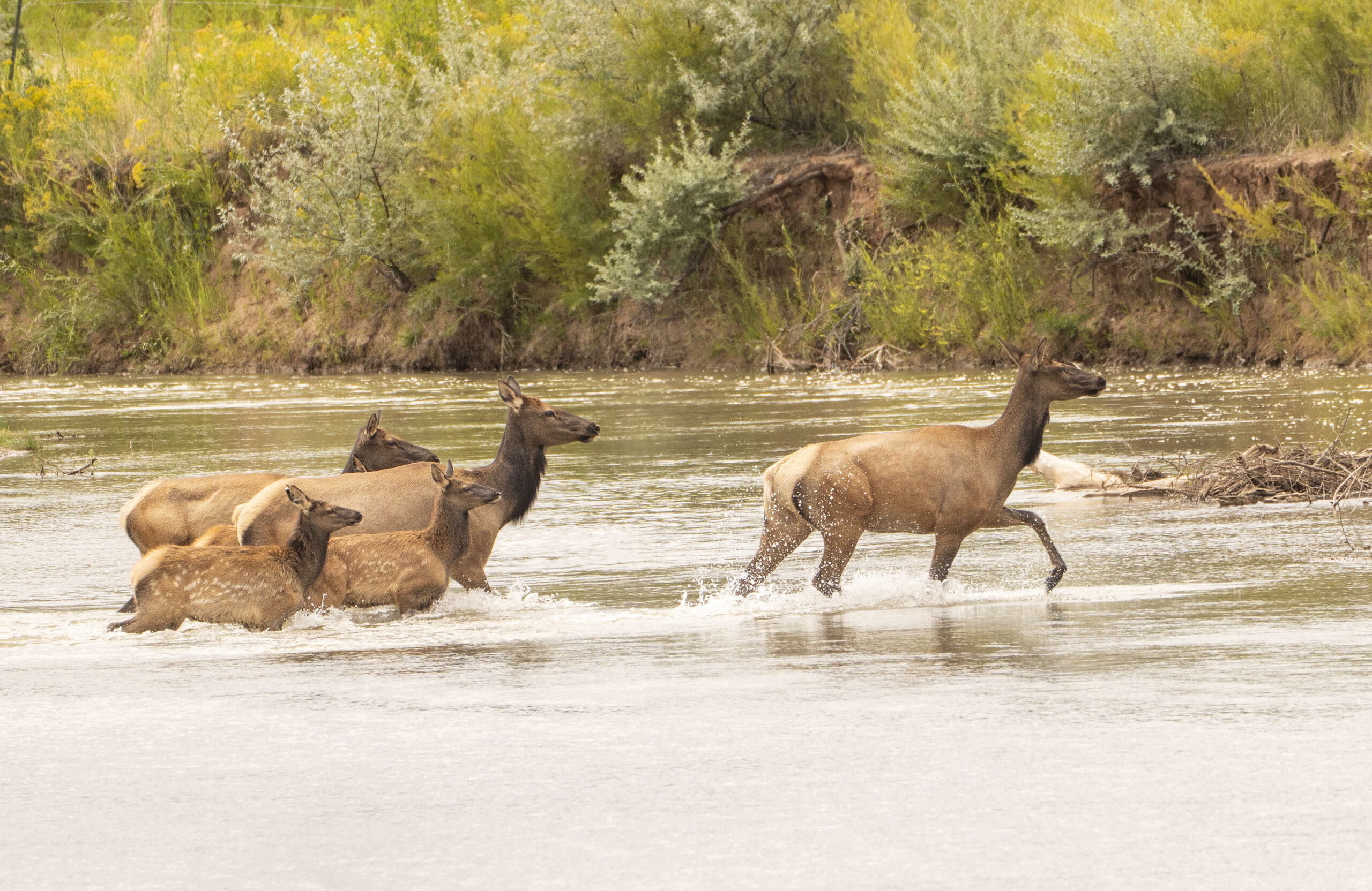
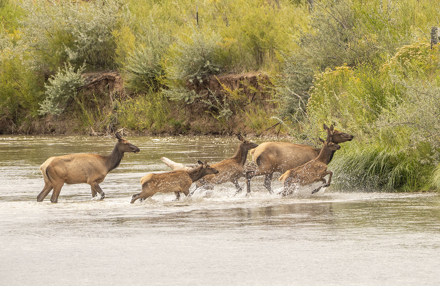
Greetings from New Mexico. This week, Elk, crossing the Rio Chama.
On the first day of our two day trip, Scott and I were just finishing up the day in Abiquiu and the Ghost Ranch area, with another stop on the Rio Chama. Upstream from the village of Abiquiu, rounding a bend in the road, I had a clear view, and was surprised to see elk in the river. One group promptly crossed, while the second group waited for us to get set up before crossing. I can’t really say for certain that they waited for us but it sure seemed like it.
Elk waiting to cross the Rio Chama in the village of Abiquiu, NM.
•
Crossing the Chama River.
•
The whole scene looked very refreshing for the elk. I stood in awe with reverence following the sight we had witnessed.
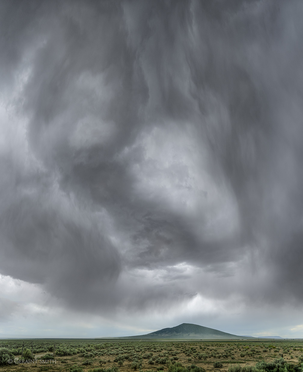
On the second day of our photo safari, we headed north to Ute Mountain and the San Luis Valley, always a favorite stop on a photo tour. Yes, the clouds unleashed heavy rain.
Storm clouds, Ute mountain, NM.
•
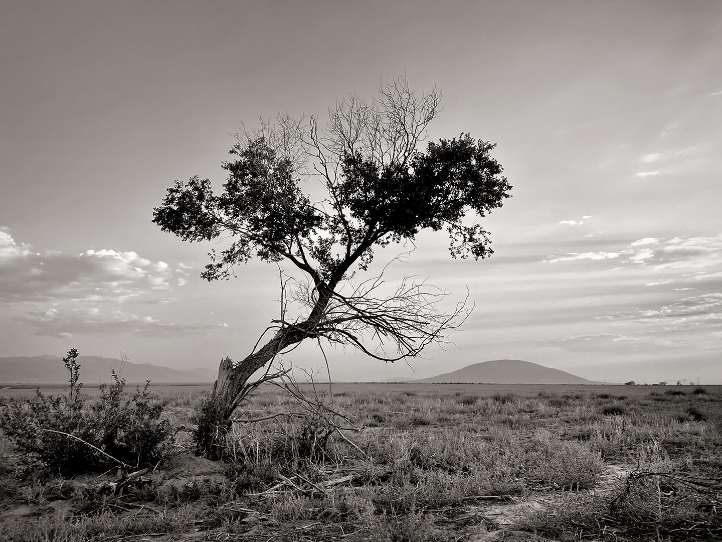
I went looking for this tree, in the photo below, thinking that five years later it may have grown some. It had only been deminished by loosing a couple of limbs, most certainly due to the high winds on the plateau. The tree is in Colorado, Ute Mountain is in New Mexico. Things change!
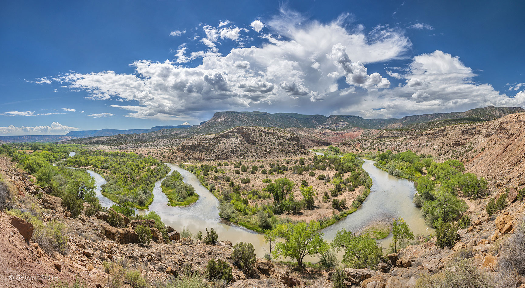
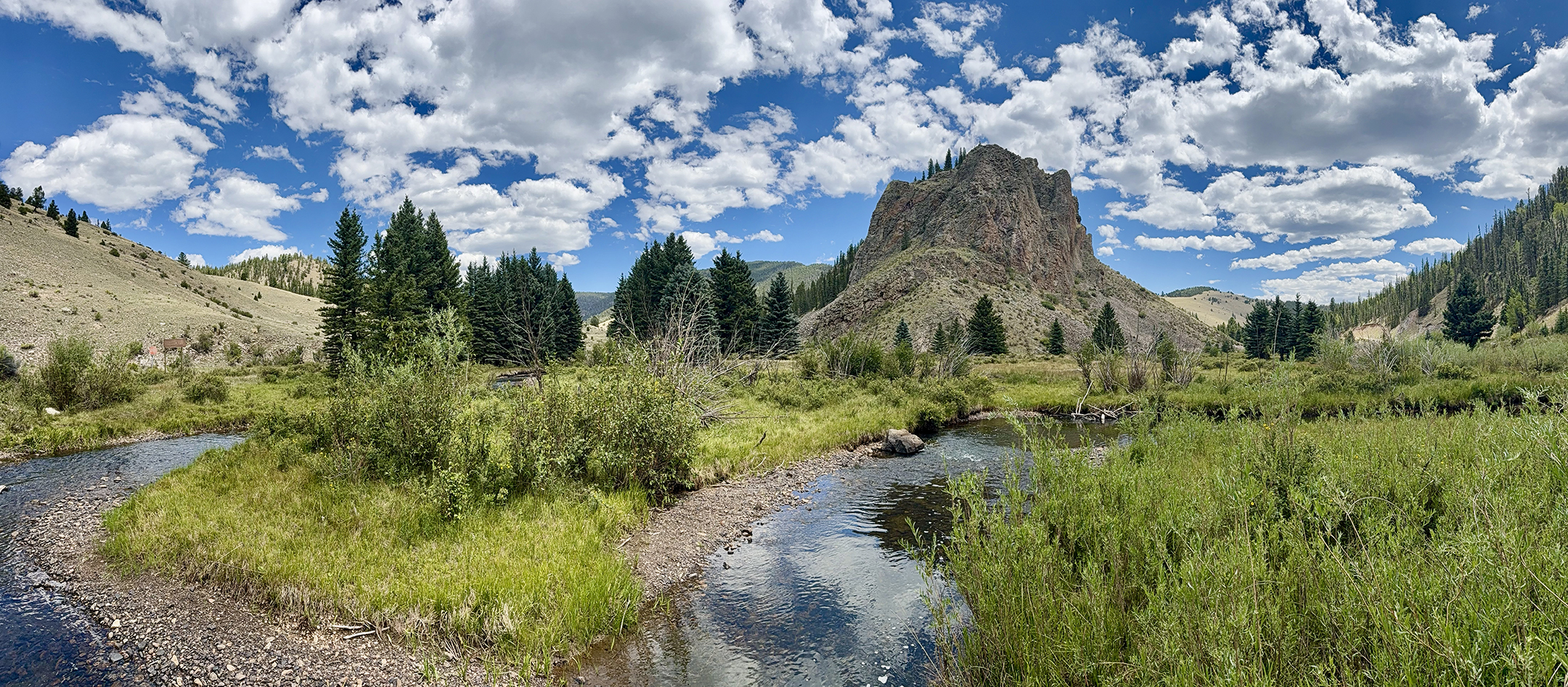
Greetings from the Vale Vidal, in the high country of northern New Mexico. My computer and internet are running really slow today so I’m heading to the mountains. Here’s a favorite stopping point, Comanche Point at the confluence of the Rio Costilla and Comanche Creek. You know the place. Not a lot of water, though some areas are very green and lush, and the clouds are outstanding.
Enjoy! See you next week.
Valle Vidal in the high country of northern New Mexico.
•
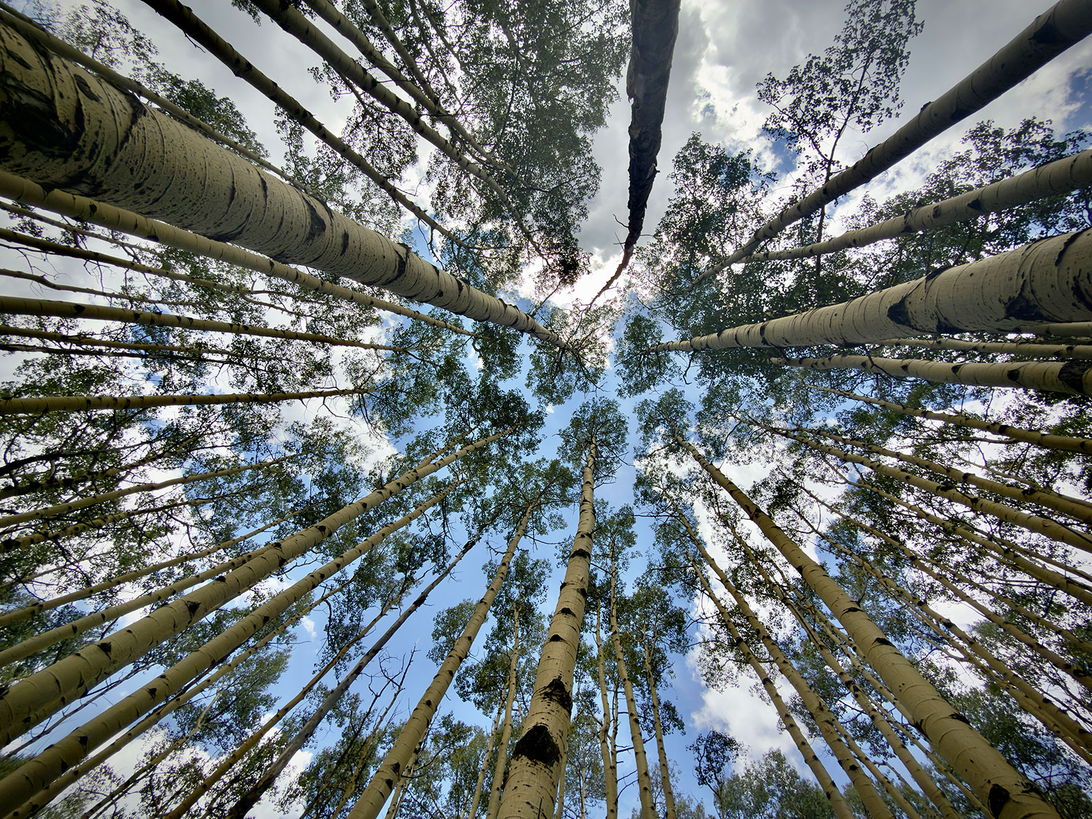
Checking out the aspen groves, it’s looking like it will be fabulous fall color up here!
Aspens, Skyward.
•
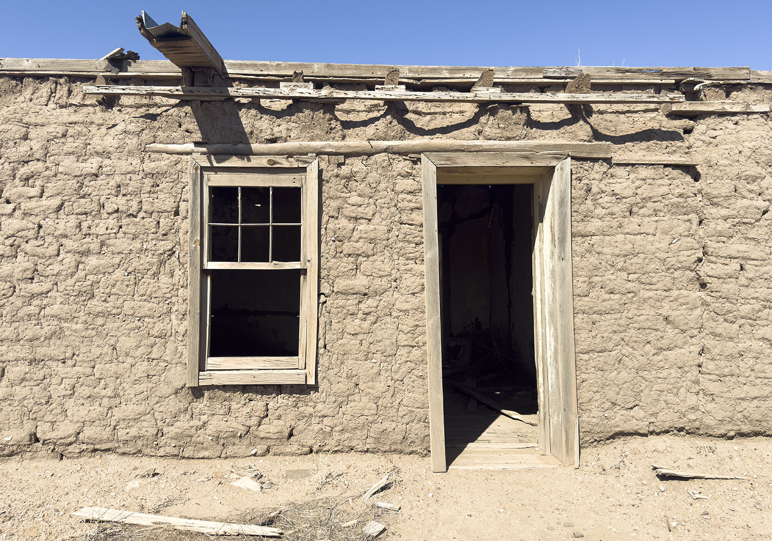
It’s always fun to stop in the San Luis Valley and photograph a dilapidated ruin en-route to the Valle Vidal.
Adobe ruin, Garcia, CO.
•
Three hours later I can safely say…. “As always, thanks for looking. Have a great week”. G
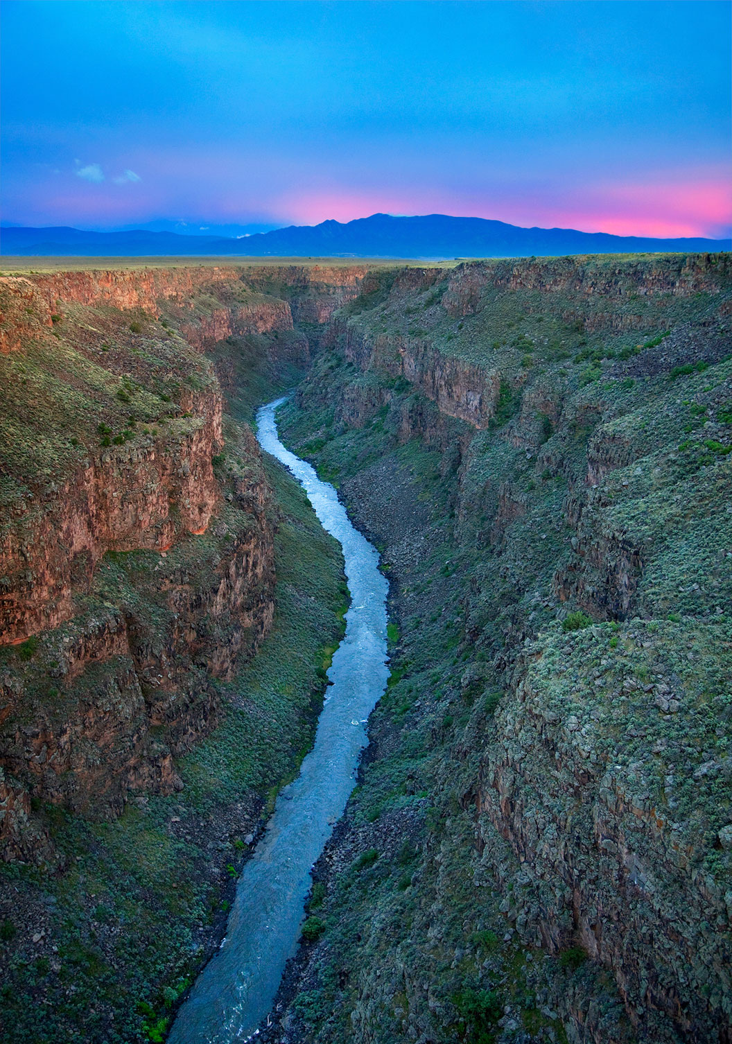
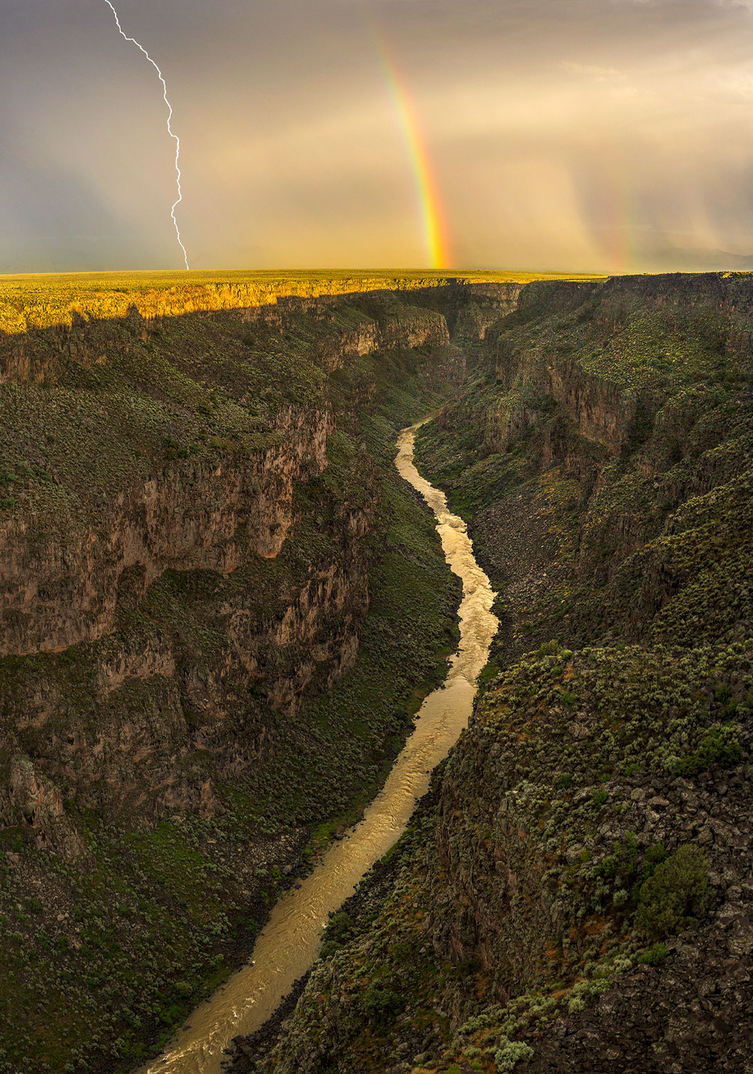
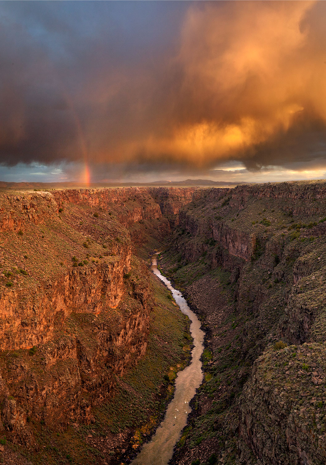
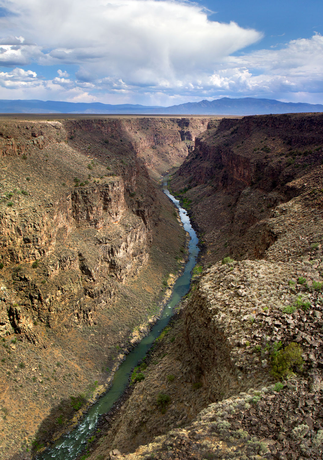
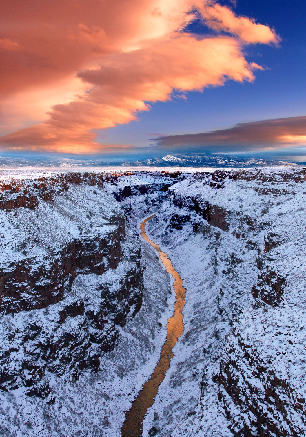
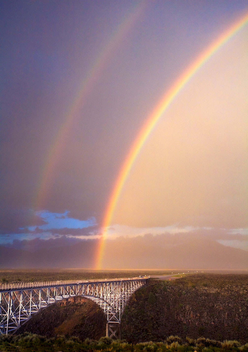
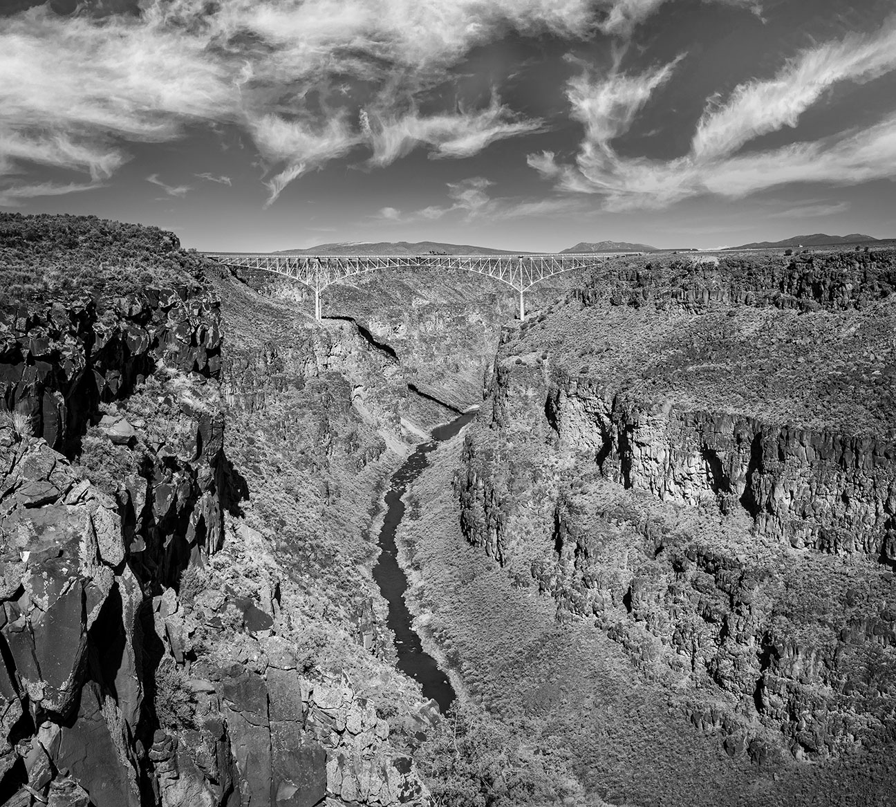
Greetings from New Mexico. I hope everyone had a good week. This week, five views from the Rio Grande Gorge Bridge looking south, one looking north at the bridge itself spanning the canyon 600 feet above the river, and one of the bridge under a rainbow.
Summer evening light on the Rio Grande.
•
Rainbow with lightning over the gorge.
•
Summer rainbow.
•
Driving over the bridge at any time of day affords spectacular views.
Summer afternoon on the bridge.
•
Added bonus of winter in the canyon are accents of snow.
Winter in the gorge.
•
Because the summer storms are almost always accompanied by rainbows.
Rainbow bridge.
•
Looking north to the bridge, where the previous images were taken from.
Rio Grande Gorge Bridge and gorge in black and white.
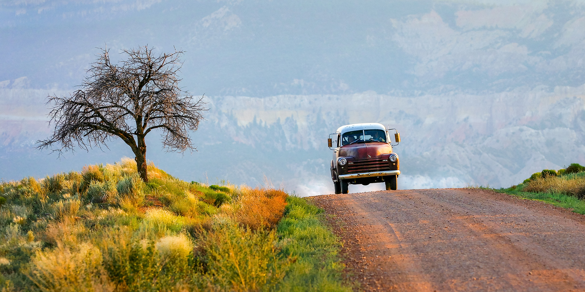
Greetings from San Cristobal, NM. I hope everyone had a great week. This week, a flashback to 21 years ago and photos I shot on the Chama River road to the desert monastery. I was looking for other subject matter, but went down a gopher hole and found myself looking at images of trips made with my friend Dwain and our kids.
Dwain is driving the truck in the photo. I saw it come over the rise in my rear view mirror, stopped got out and had him back down the hill and to drive my way again. This is the shot I got. It has been a best seller since and a true remembrance of a great friendship. This dead tree fell a few weeks later and no doubt wound up in someones campfire. Dwain passed away in 2010. I’ll always treasure our friendship
Dwains panel truck on the Chama River Road , NM
This was the time of year when the kids got out of school and the first camping trip of summer was always along the Chama River road. We went camping and made trips elsewhere but this was the first of the summer and always the favorite.
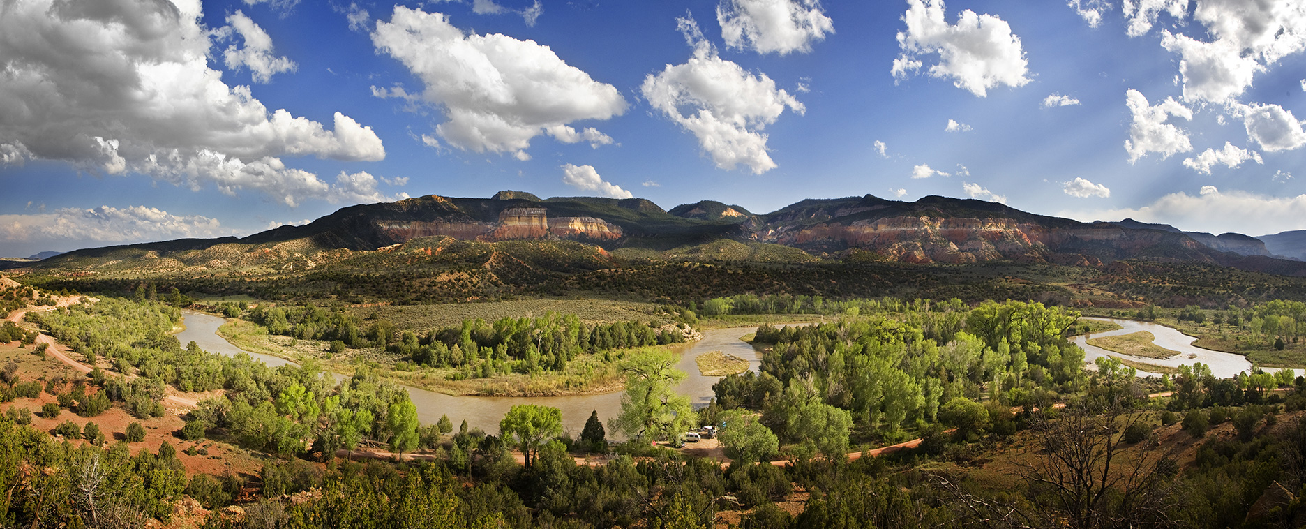
Below, if you expand the image you can see our camp site. The tall cottonwood fell down shortly after Dwain passed. Dwain was a master wood and stone carver. I like to picture Dwain and the cootonwood together wherever that may be.
Rio Chama campsite.
The view from our go to campsite. The kids favorite place to wallow in the river and sandy mud.
Chama river campsite view.
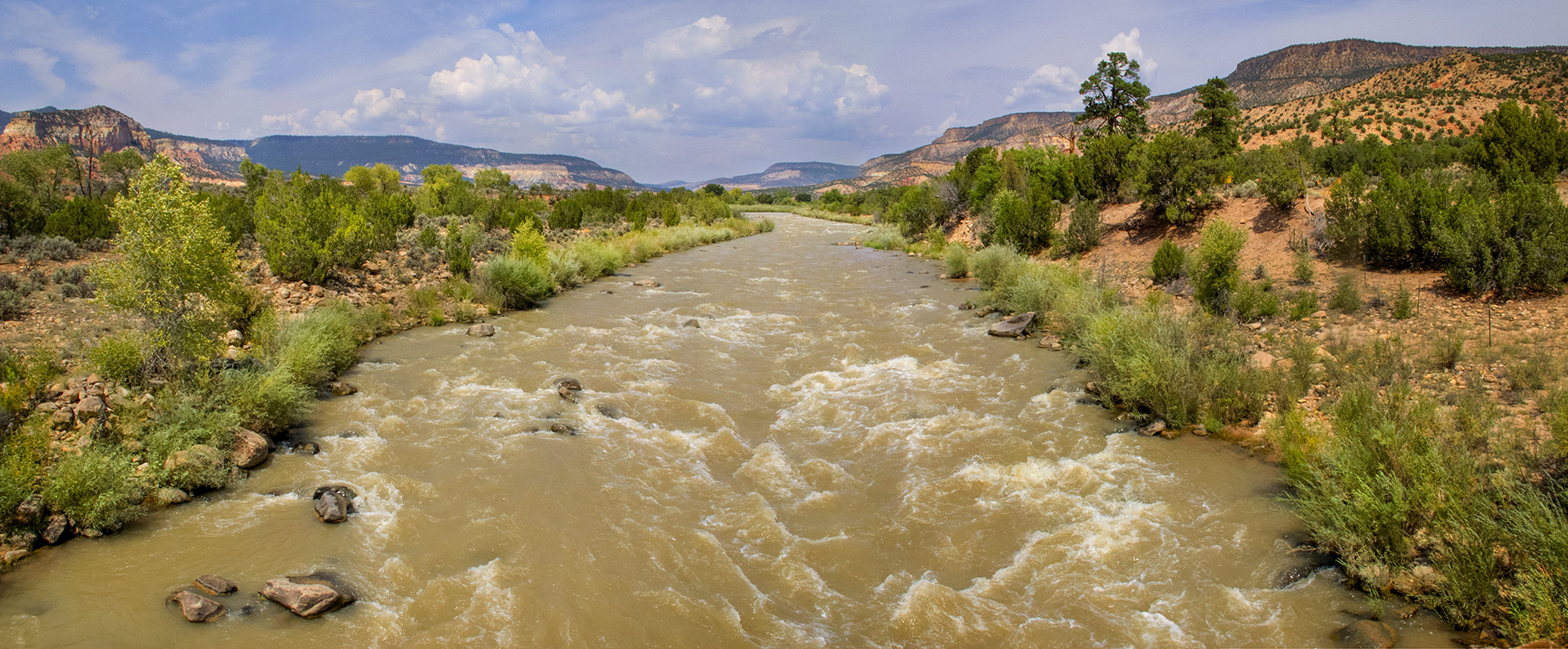
Ten minutes upstream is an old bridge with this vista.
Water in the desert.
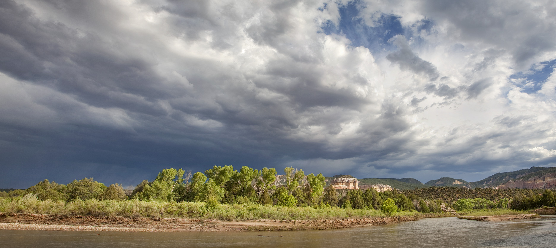
Two minutes upstream for our campsite is this bend in the river. A tranquil spot to watch the river flow and the sun setting. The evening continued with marshmallows and smores and Dwain telling stories around the campfire.
Twilight on the Chama River.
As always, thanks for looking. Thanks for indulging me. Have a great week. G
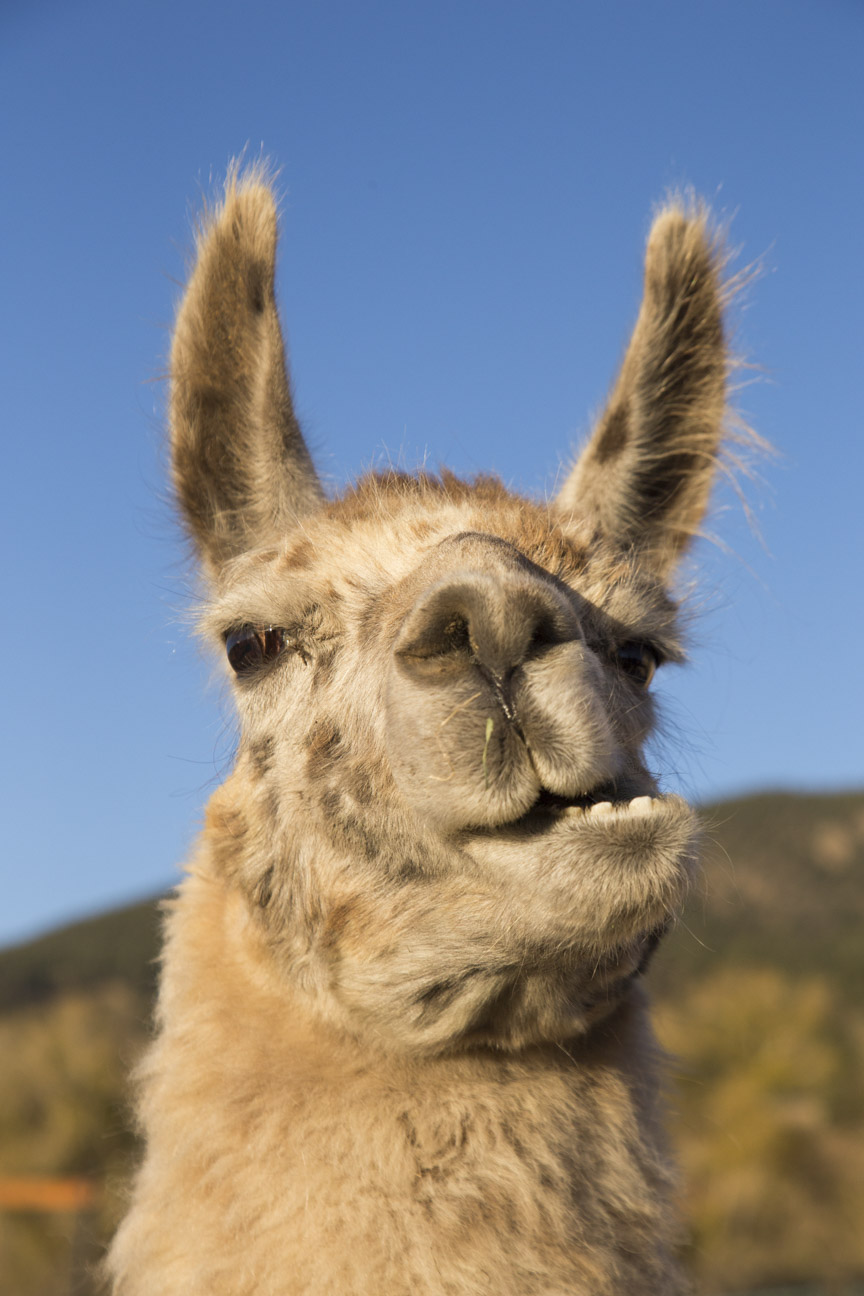
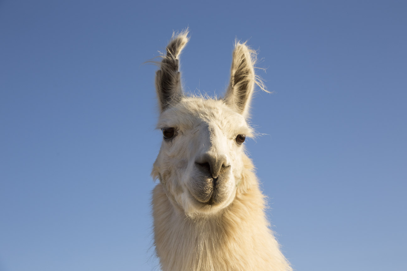
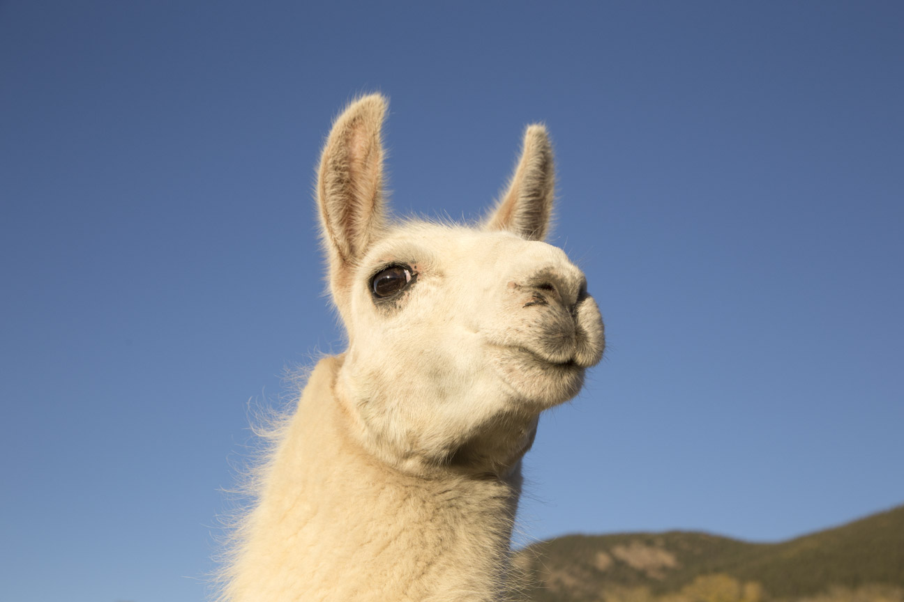
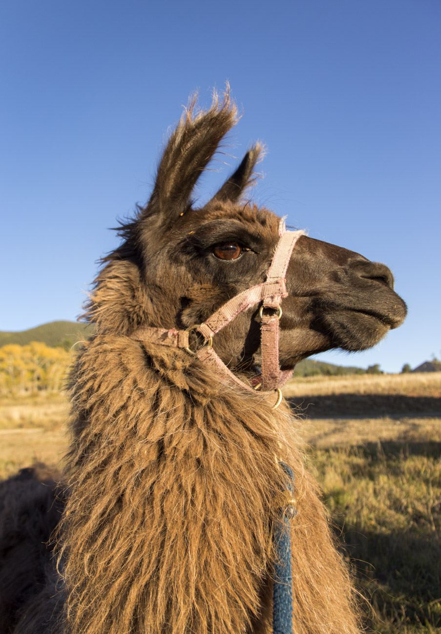
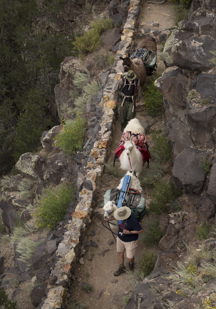
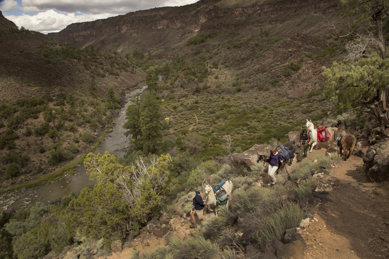
Greetings from San Cristobal, NM. This week, I’m sharing images from a photo assignment for “AAA New Mexico Journeys Magazine”, all taken on a Llama Trekking adventure down into the Rio Grande Gorge with Wild Earth Llama Adventures in 2014. Over the years, I have worked on many stories for AAA Magazines. Maybe I’ll share more down the road.
I hope everyone had a good week. Enjoy these images down into the gorge, and the inevitable 700 ft climb out. But then again, the Llamas carry the weight.
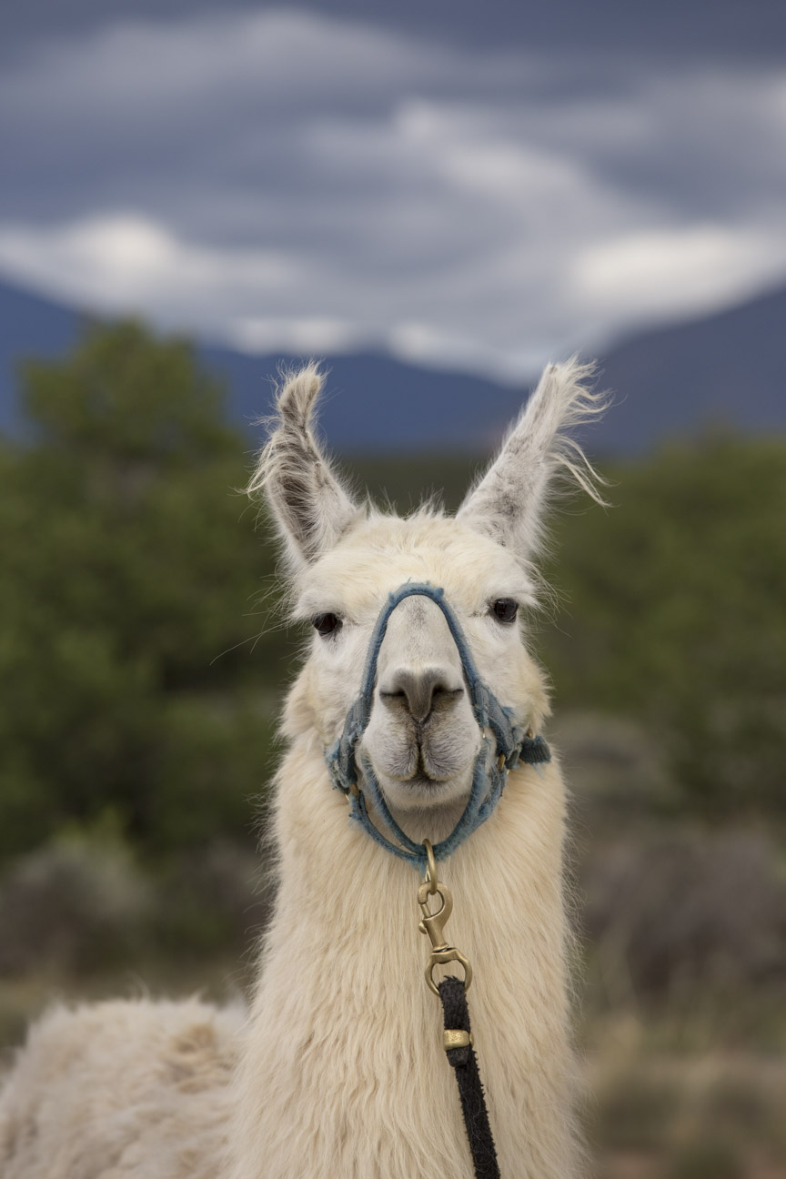
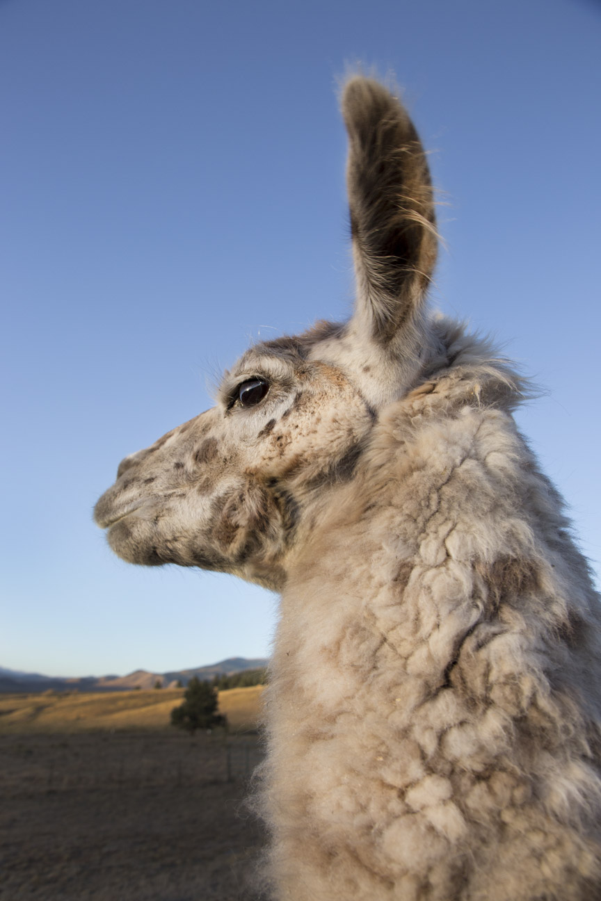
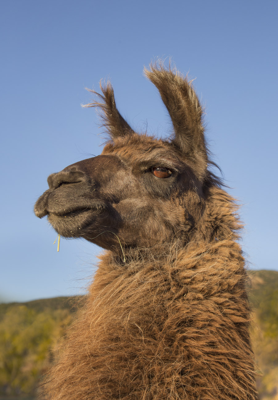
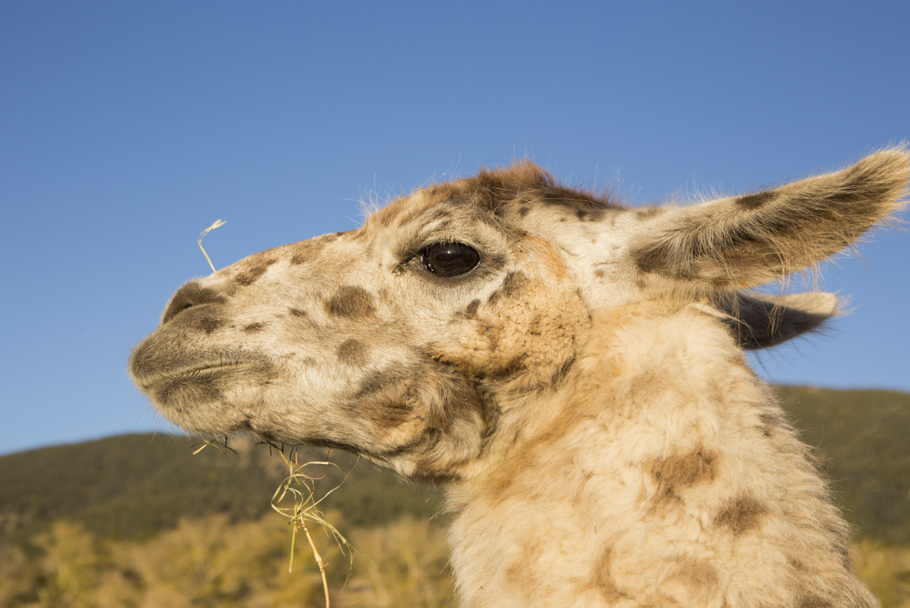
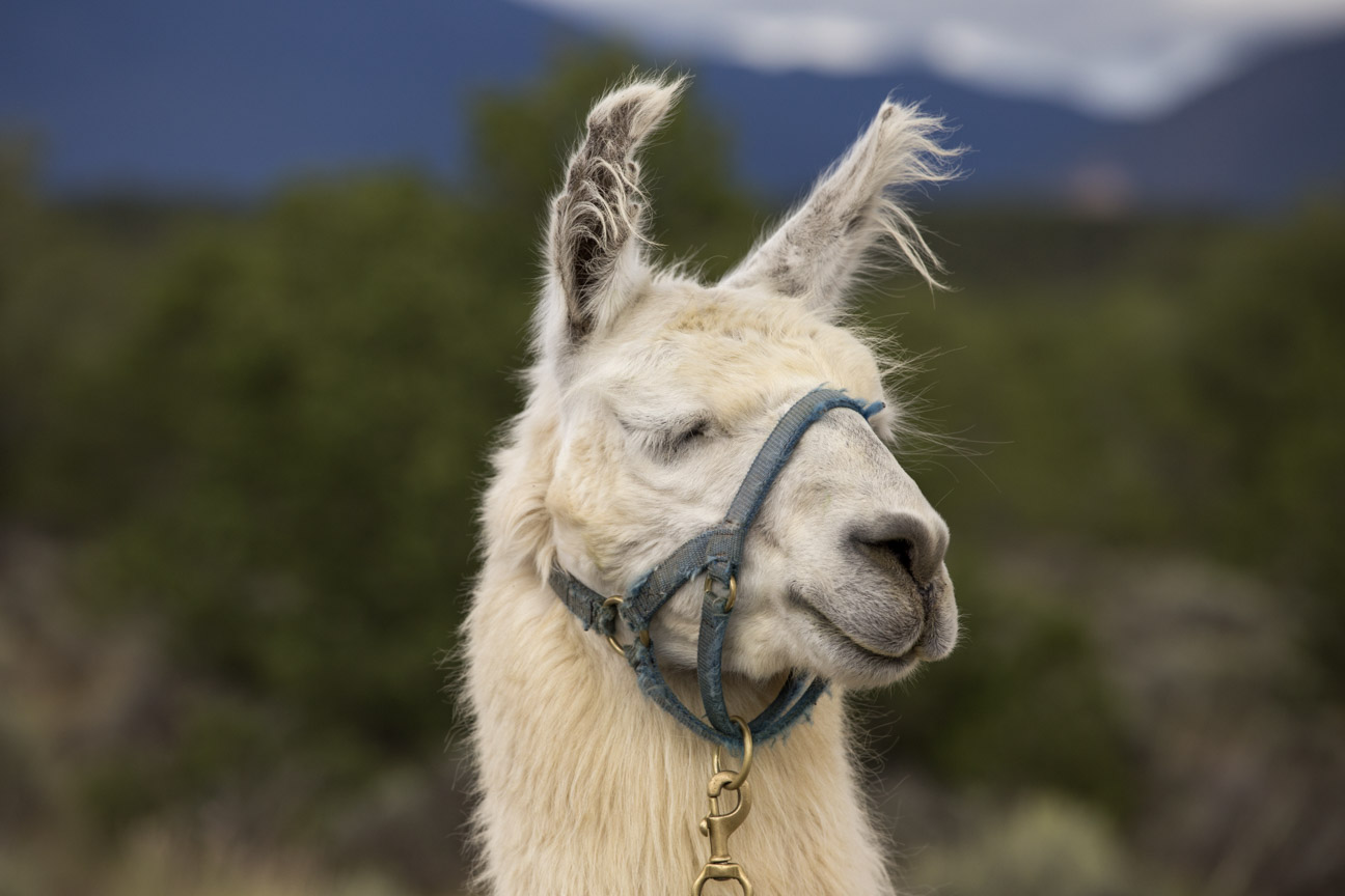
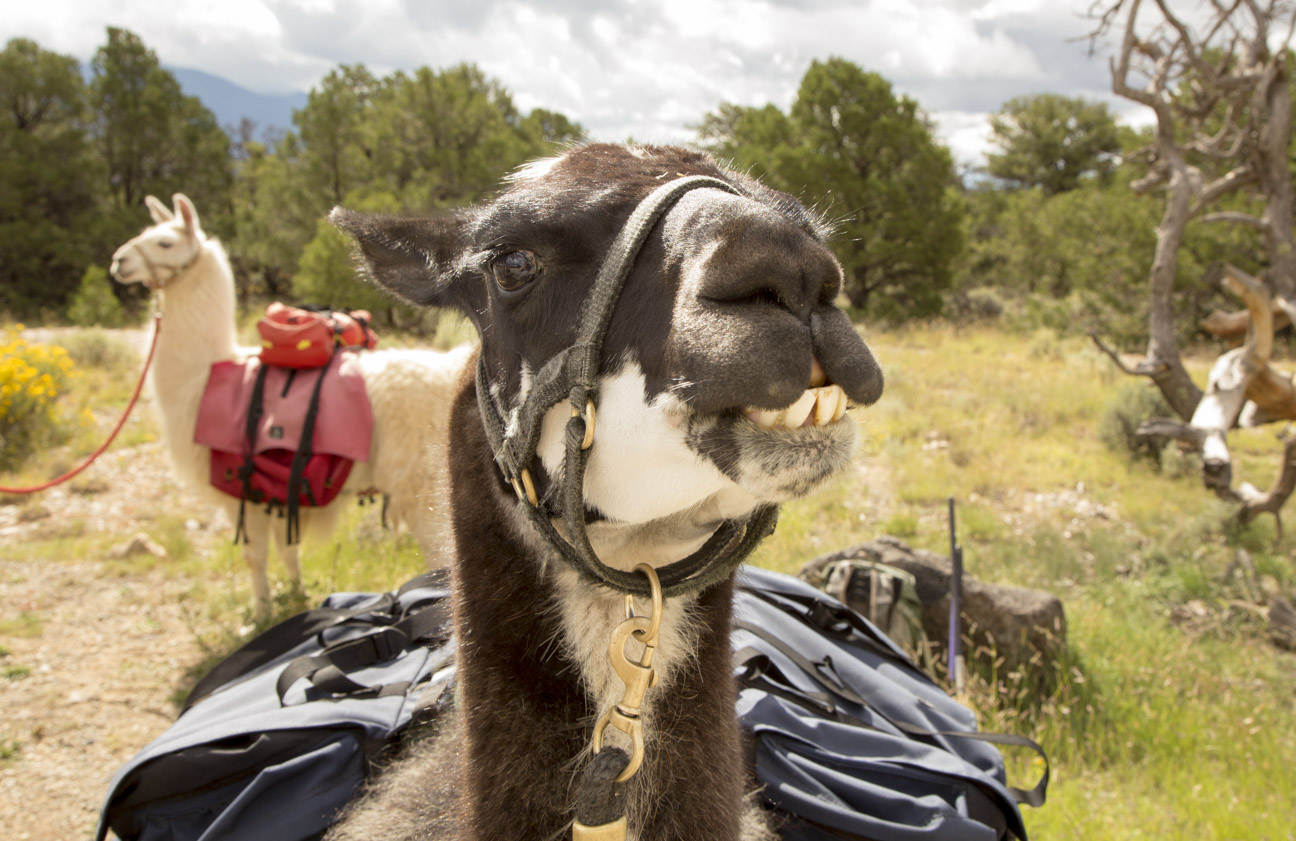
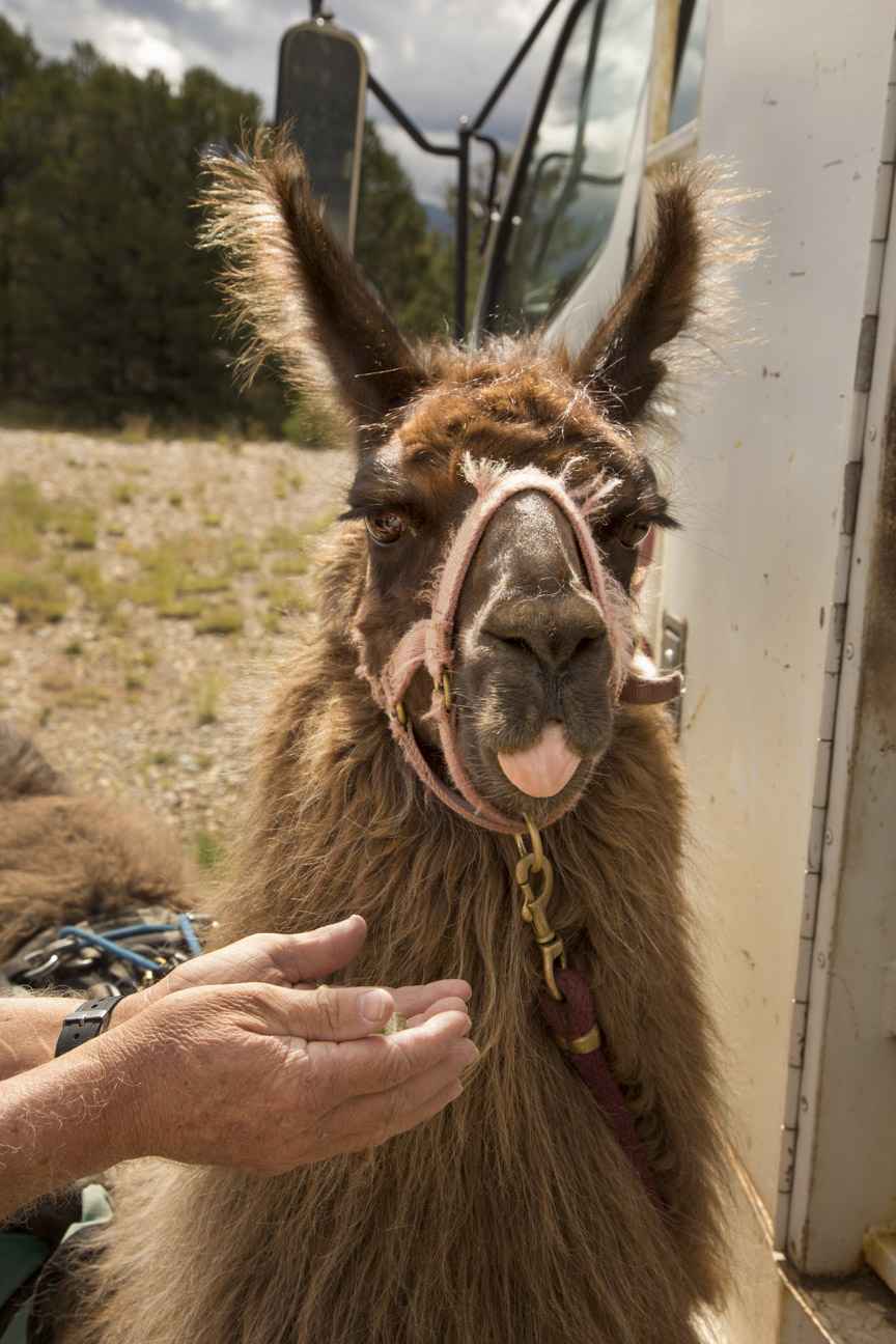
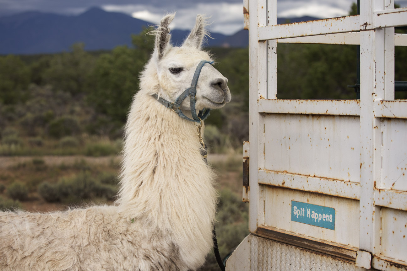
The first task is to get acquainted with and choose your llama. Tough choice to settle on which one of these beauties.
Did you pick one?
•
Then, it’s load up and head out, or rather down.
Loading up the gear.
•
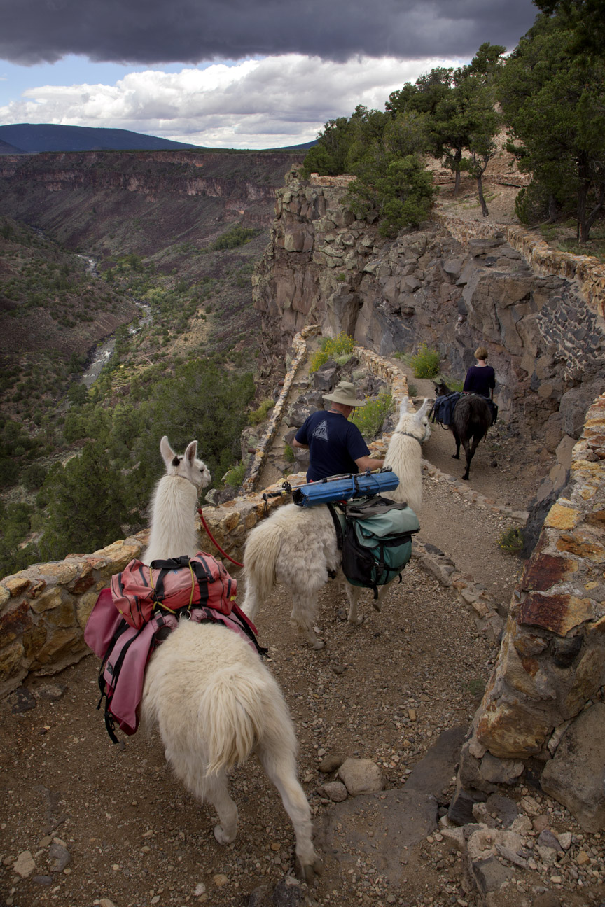
Starting the trek down into the gorge.
•
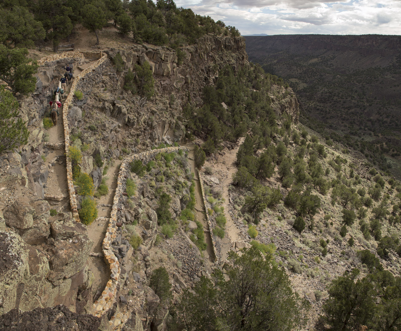
Down and down it goes.
•
Another switchback.
•
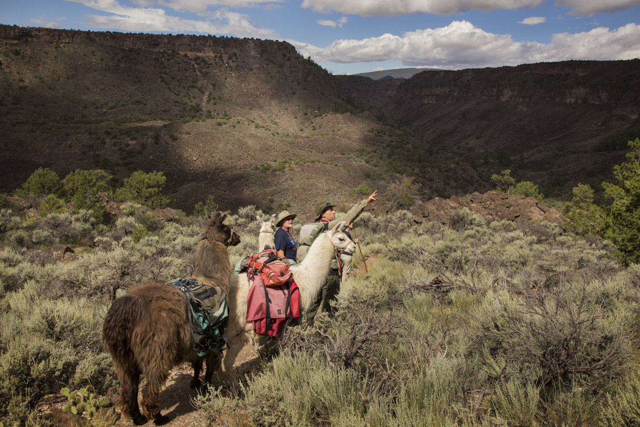
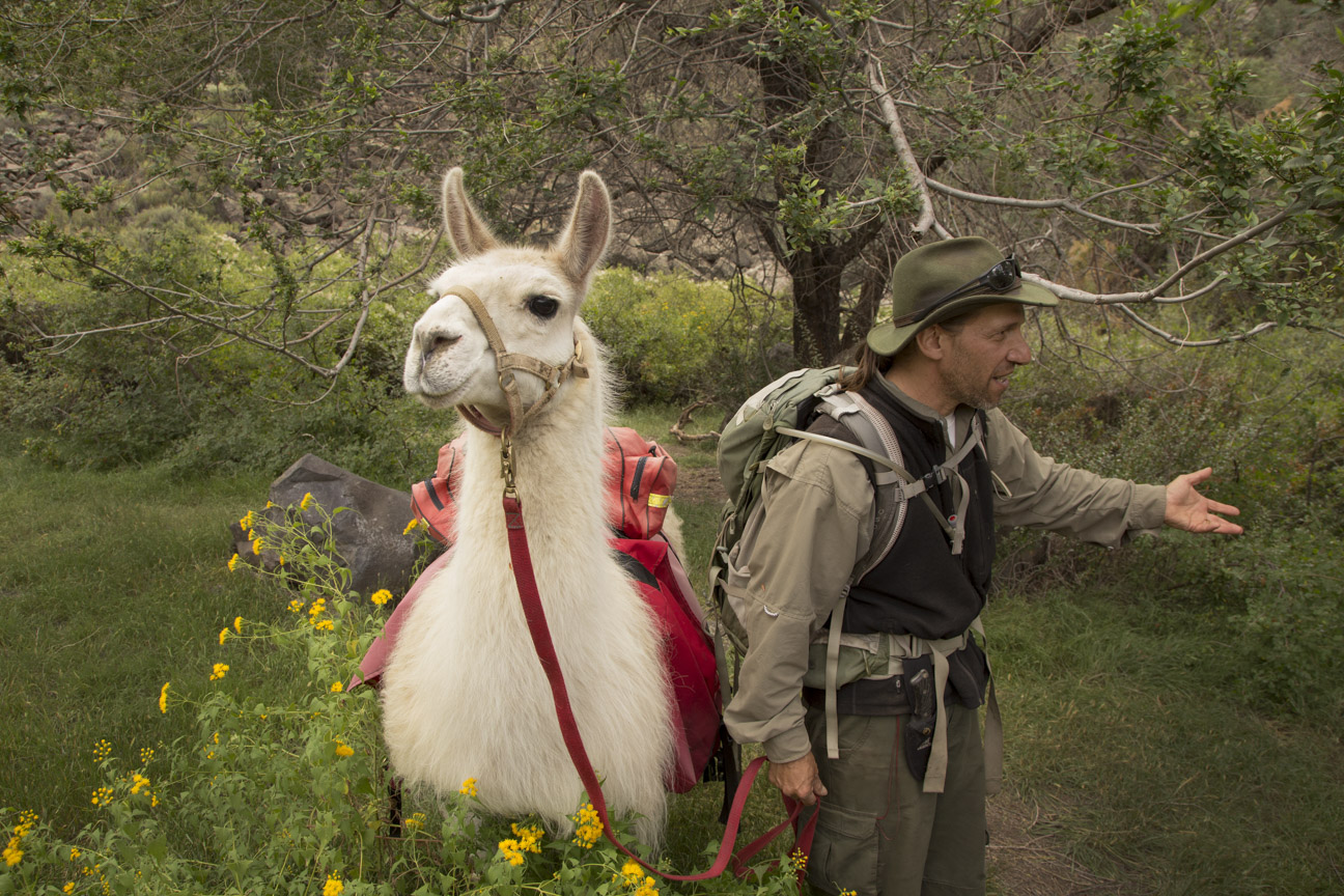
We all take a break, and our guide shares some local knowledge of the area with us.
Sharing local knowledge with the trekkers.
•
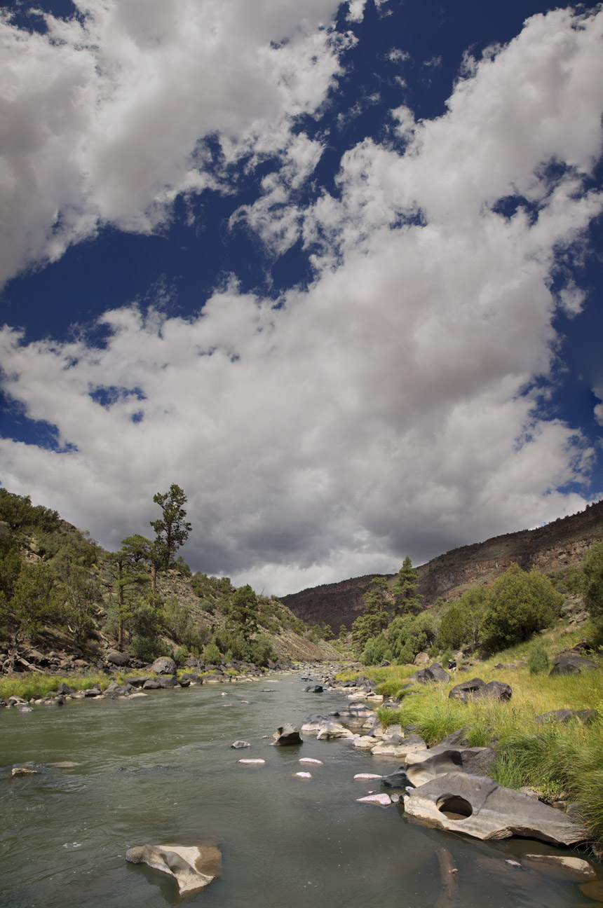
Rio Grande.
•
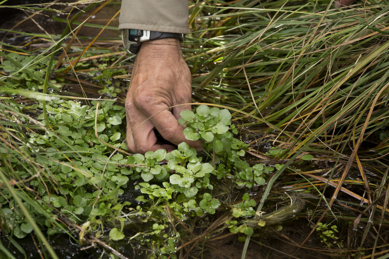
Wild watercress with lunch along the river near a spring.
Wild watercress.
•
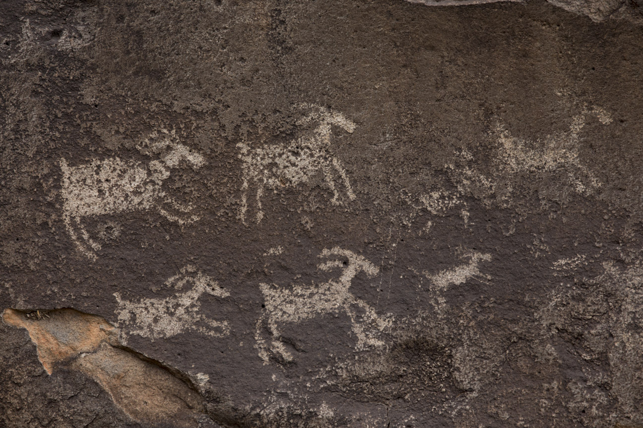
After lunch, there’s plenty of time to explore the ancient petroglyphs in the immediate area.
Petroglyphs along the Rio Grande.
•
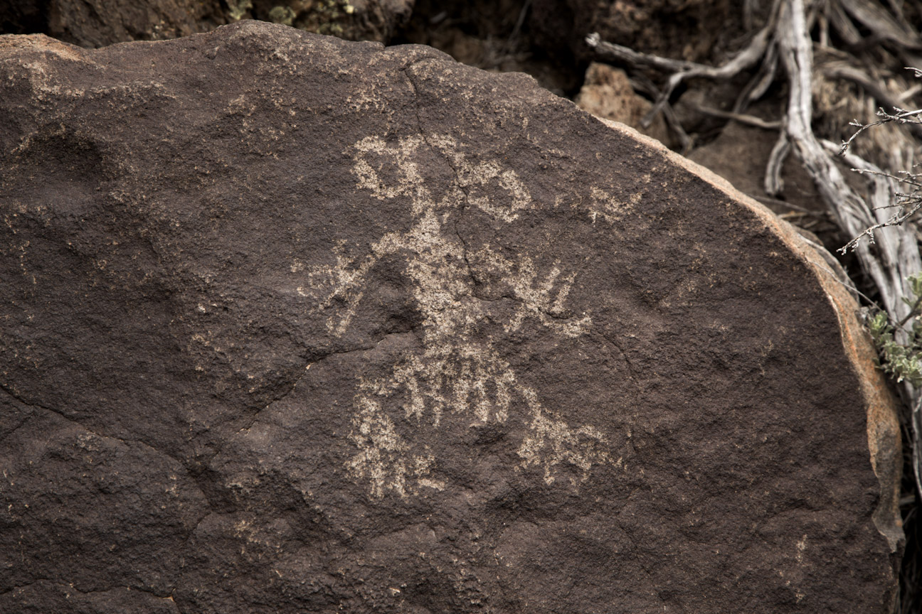
Corn woman petroglyph.
•
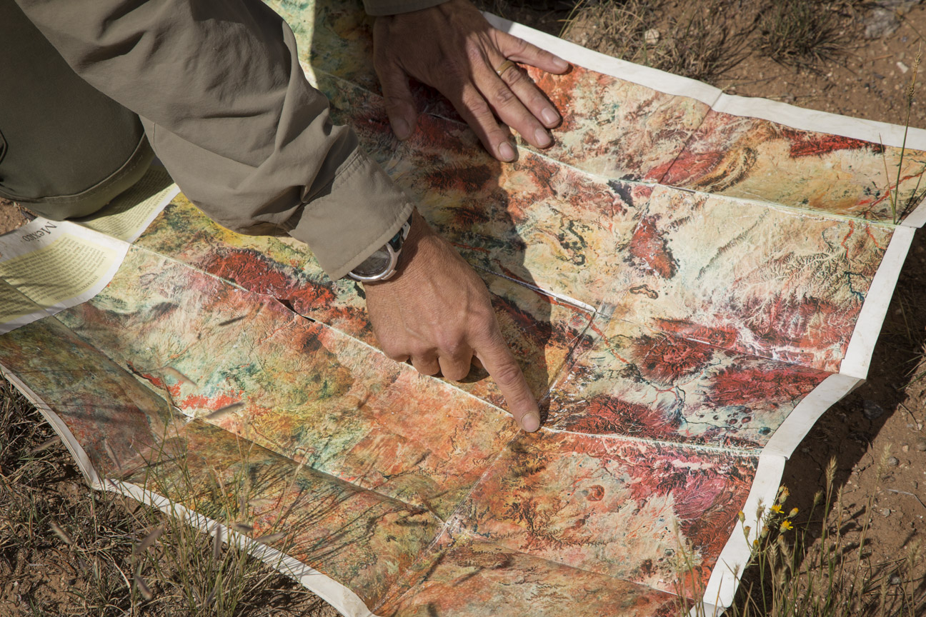
Our guide points out the route we took down into the gorge. We already know where we are going next… up, up, up!
Llama trekking, map of the route.
•
After a leisurely lunch and time exploring the area, we loaded up our new best friends and wound our way back along the river to where the trail made its way up out of the gorge to the rim of the Wild and Scenic Rivers Recreation Area.
Our guide, Stuart.
•
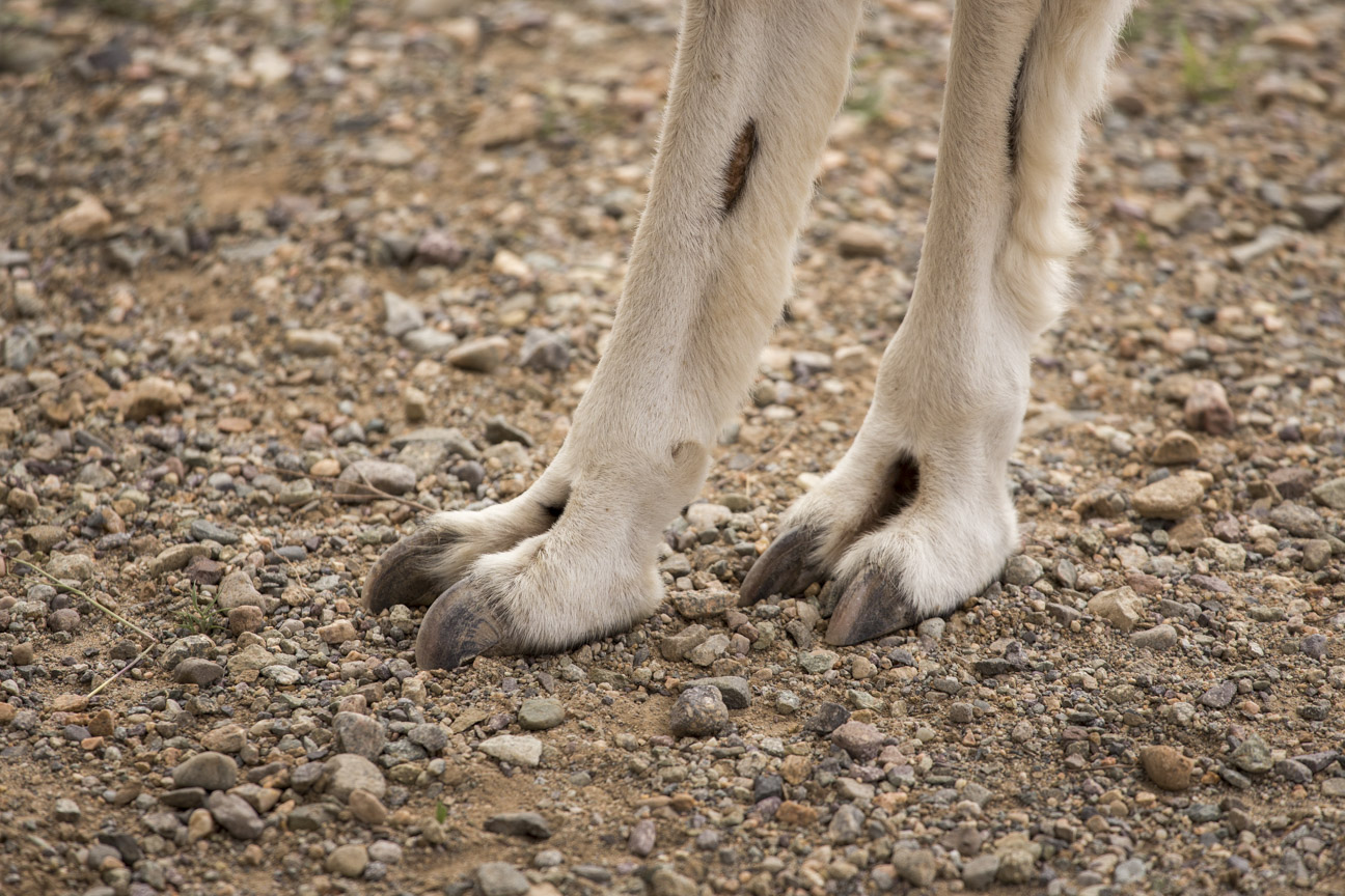
Sure footed.
Llama toes.
•
The trail up out of the Rio Grande Gorge, the final few yards.
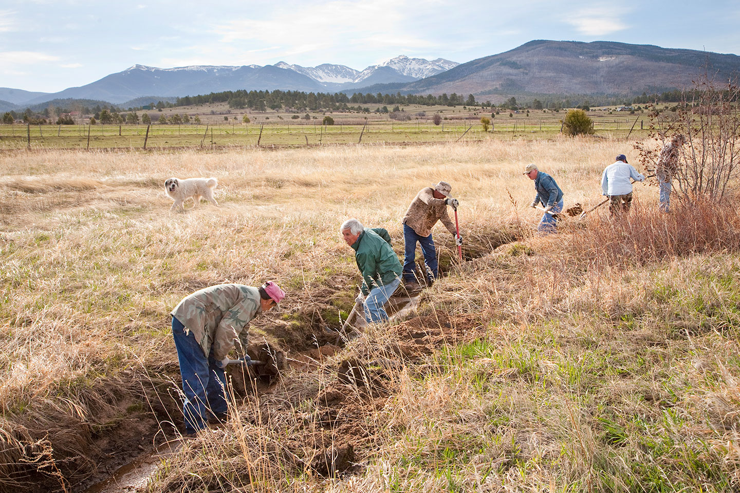
Hello from New Mexico. This week, images of some of the acequias, water irrigation ditches, the lifeblood of agriculture in this area.
I hope everyone had a good week. I endeavor to remain positive.
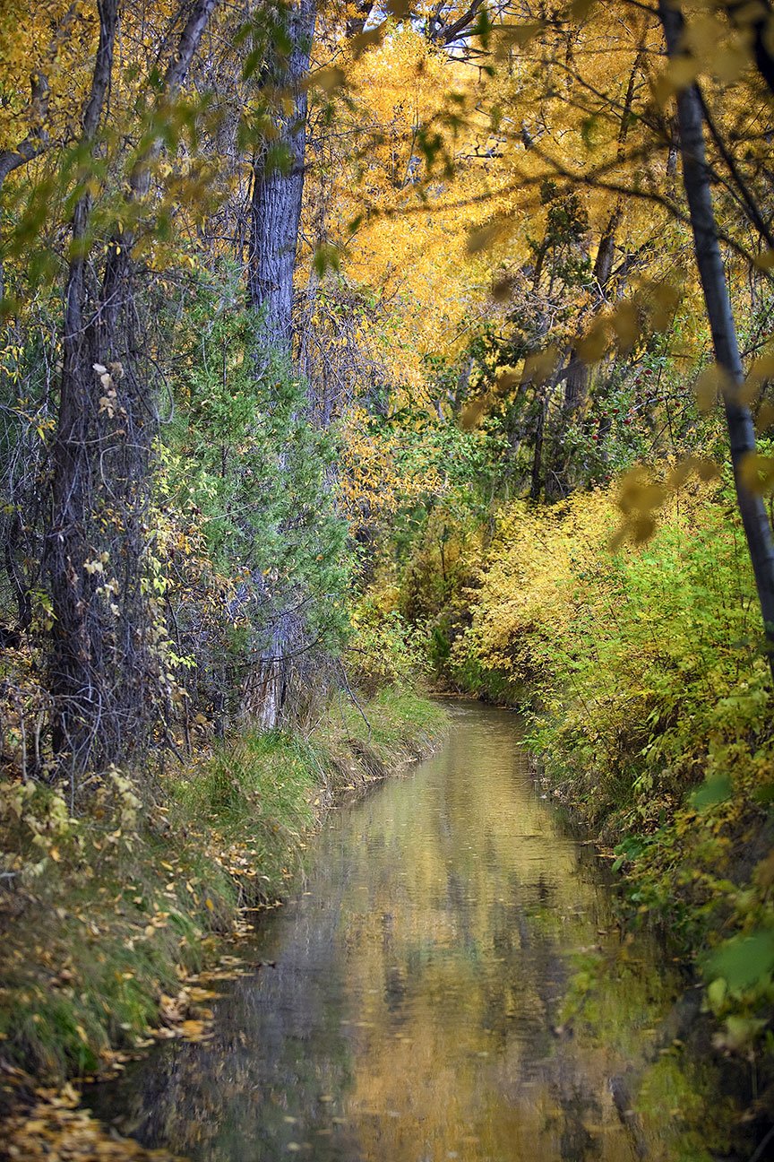
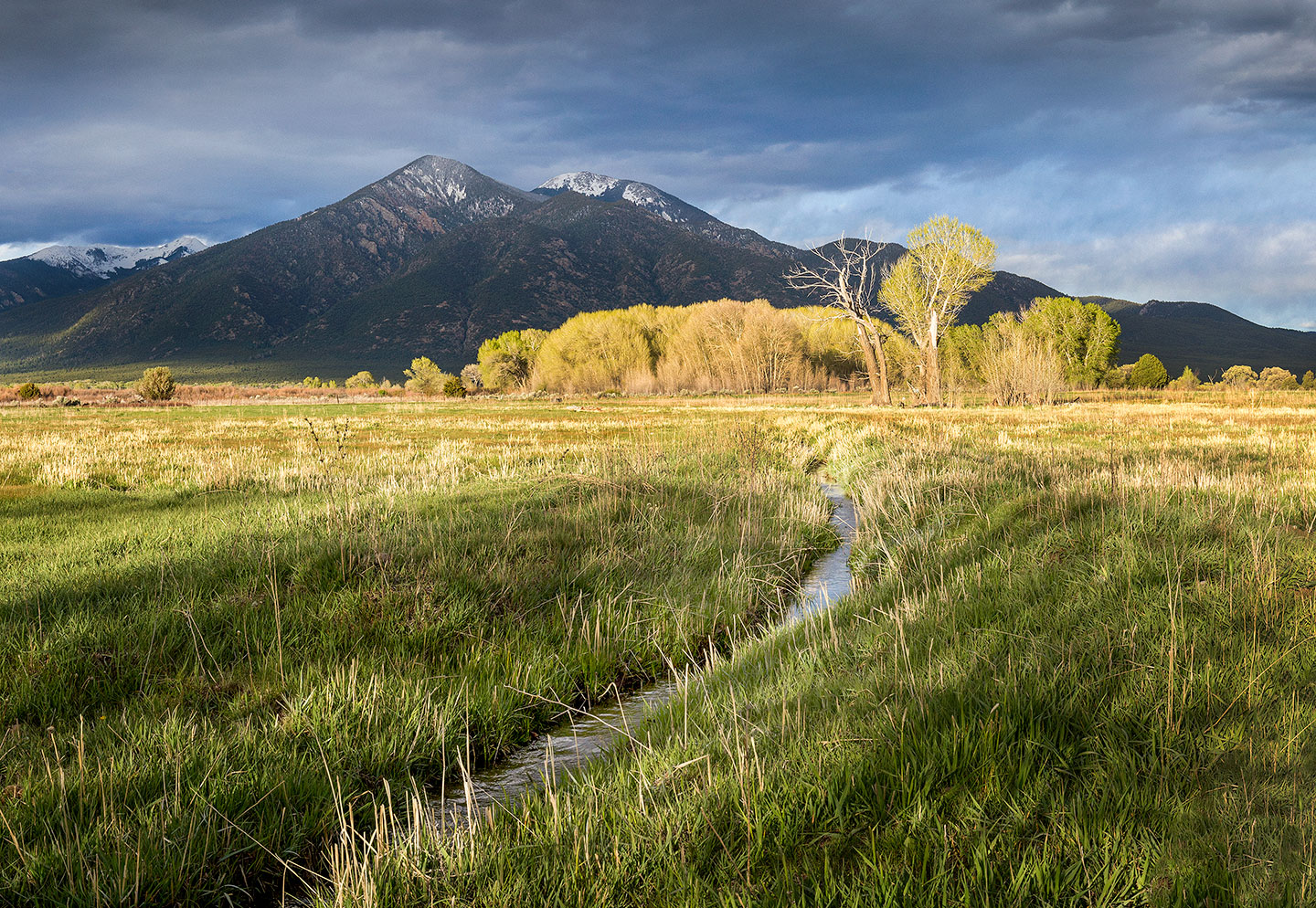
I’m posting some of my favorite photos of the Taos area acequias this week. There is a wealth of information online if you would like to read more.
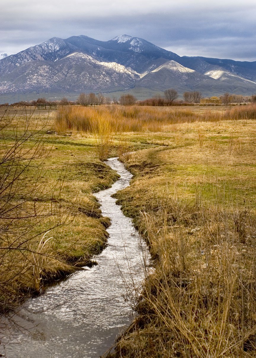
Acequia of the Ranchos Valley, with Taos Pueblo Mountain.
•
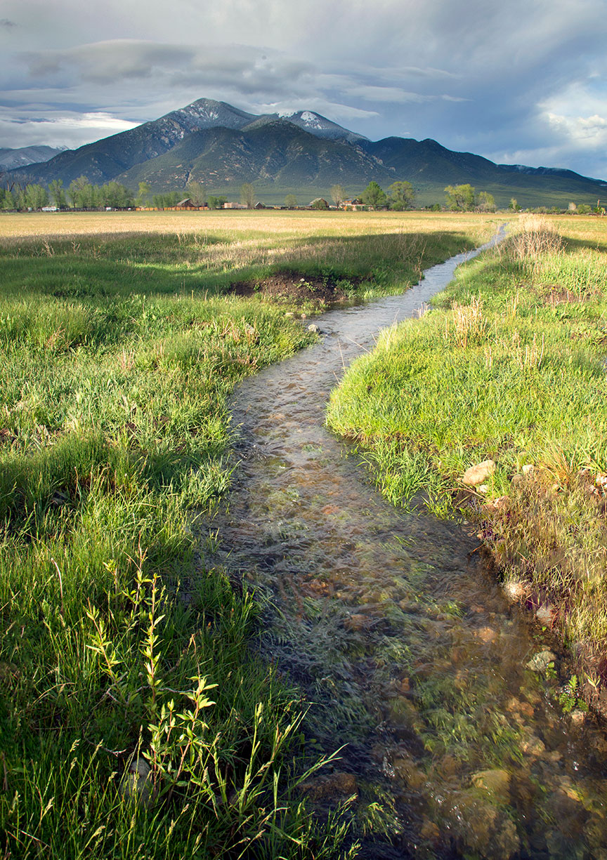
El Prado ditch.
•
Irrigation ditch, Pilar, NM.
•
Acequias are community-operated watercourses used for irrigation. They are managed collectively by local farmers and landowners, emphasizing cooperation and shared responsibility. The governance of acequias is typically overseen by a “mayordomo,” an elected official responsible for the maintenance and operation of the irrigation system.
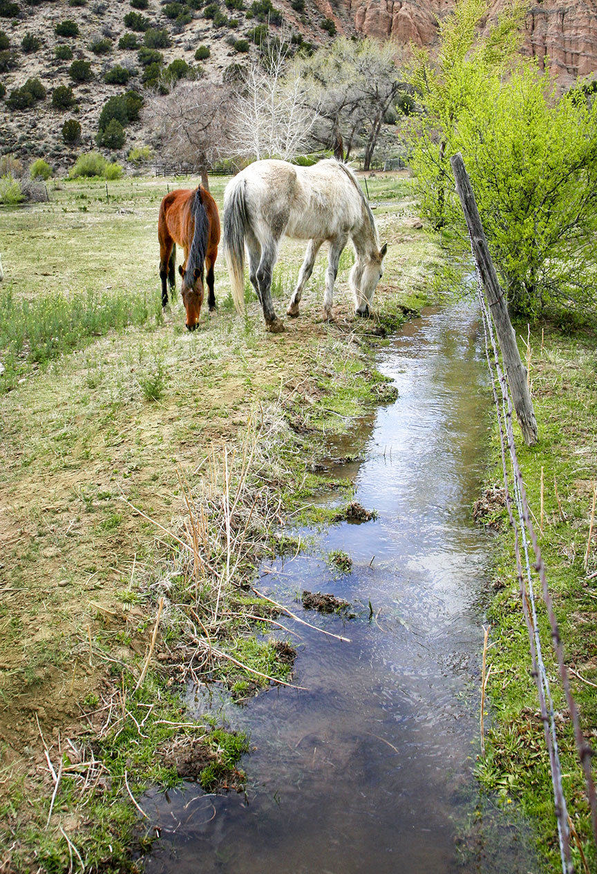
My friend’s horses along an acequia in Pilar, NM.
•
Acequias are designed to be sustainable, using gravity to transport water from rivers or streams to agricultural fields. They are adaptable to various landscapes, including arid and semi-arid regions, making them crucial for agriculture in areas with limited rainfall.
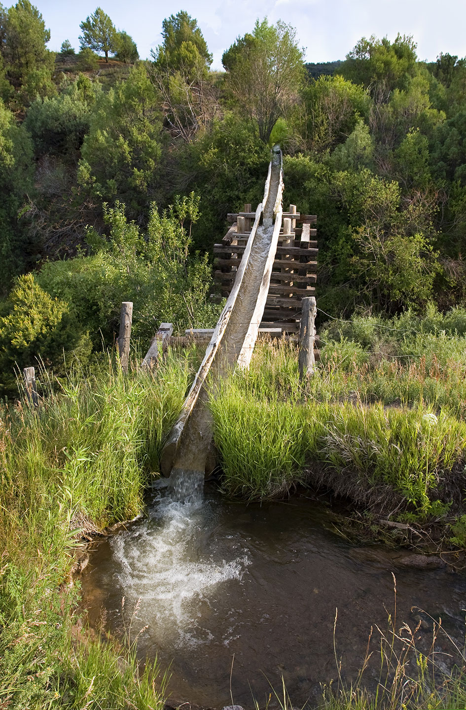
Log flume, in Las Trampas on the High Road to Taos.
•
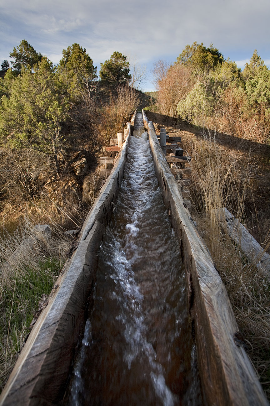
‘A distinctive feature of the acequias is the survival of a “canoa,” a hand-hewn hollow log that serves as a flume to transport water across ditches and depressions.”
Log flume, irrigation in Las Trampas on the High Road to Taos.
•
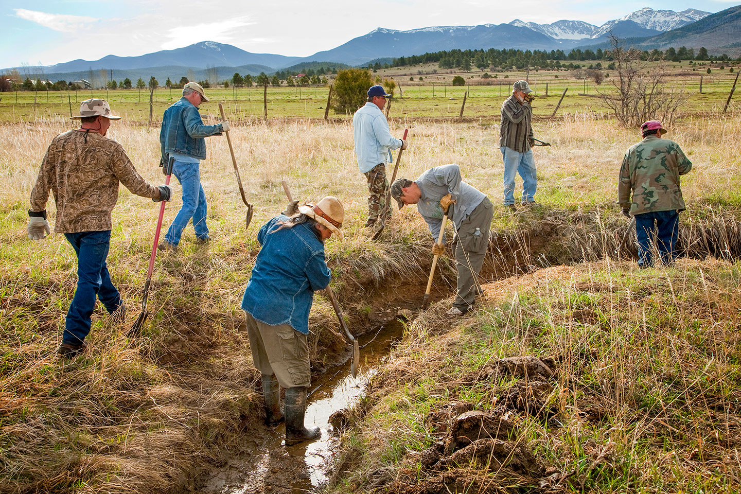
Acequia culture is deeply rooted in the traditions and history of the communities that maintain them. They are often associated with indigenous and Hispanic cultures in the American Southwest, particularly in New Mexico and Colorado. These systems have been in continuous use for centuries, representing a living link to the past and a testament to the ingenuity of early settlers and indigenous peoples.
Parciantes (members) spring cleaning near Truchas, NM.
•
Acequias are often governed by specific water rights and legal frameworks that have been developed over time. These rights are crucial for resolving disputes and ensuring equitable water distribution. The social structure surrounding acequias fosters a strong sense of community and mutual aid, as water is a shared and vital resource.
Parciantes clearing the ditches near Truchas, NM.
•
Today, acequia communities face challenges such as urbanization, climate change, and water scarcity. Efforts are being made to preserve these systems through legal protections, cultural initiatives, and sustainable practices. Organizations and local governments work to maintain the integrity of acequias, recognizing their importance for cultural heritage, agriculture, and environmental sustainability.
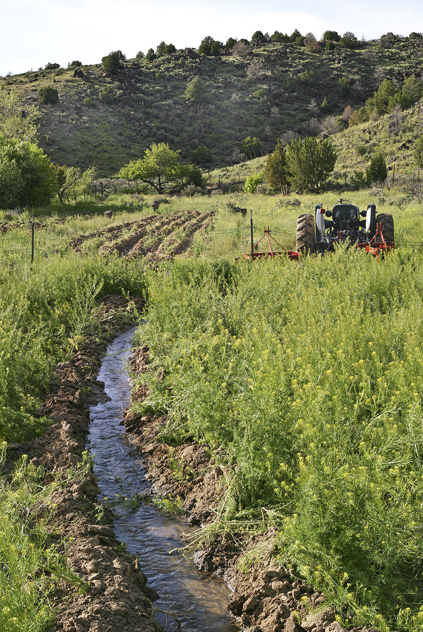
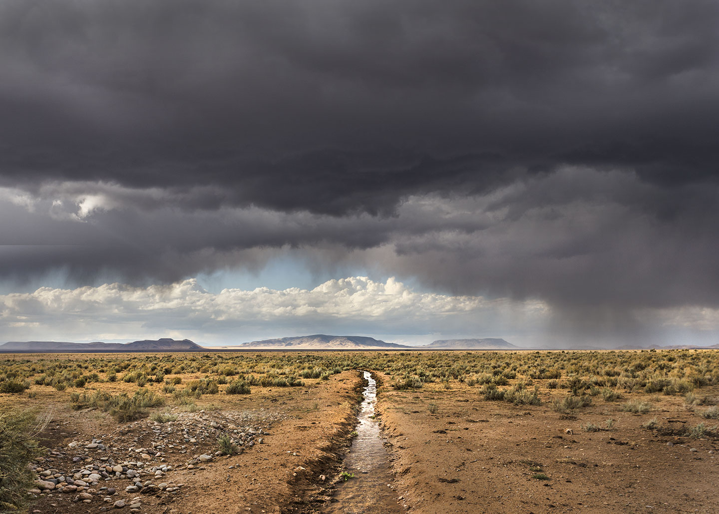
Irrigation ditch on the plateau near Ute Mountain.
In summary, acequia culture is a unique blend of historical irrigation practices, community cooperation, and cultural heritage. It continues to play a vital role in the agricultural and social life of many communities in the American Southwest, embodying principles of sustainability and shared stewardship of natural resources.
As always, thanks for looking. Have a great week. Enjoy the spring weather. G
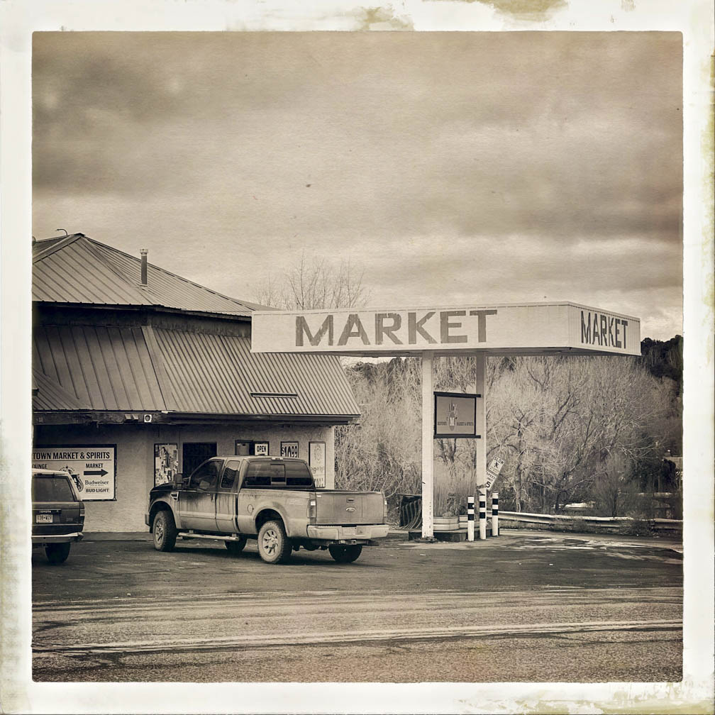
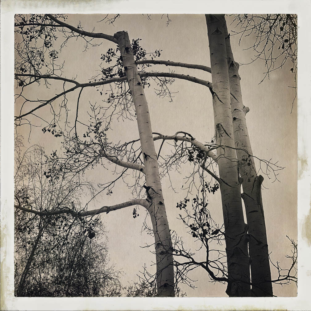
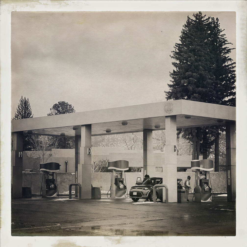
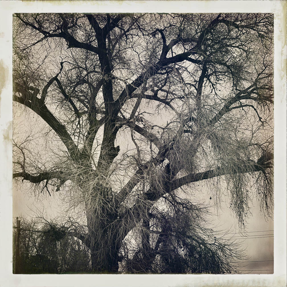
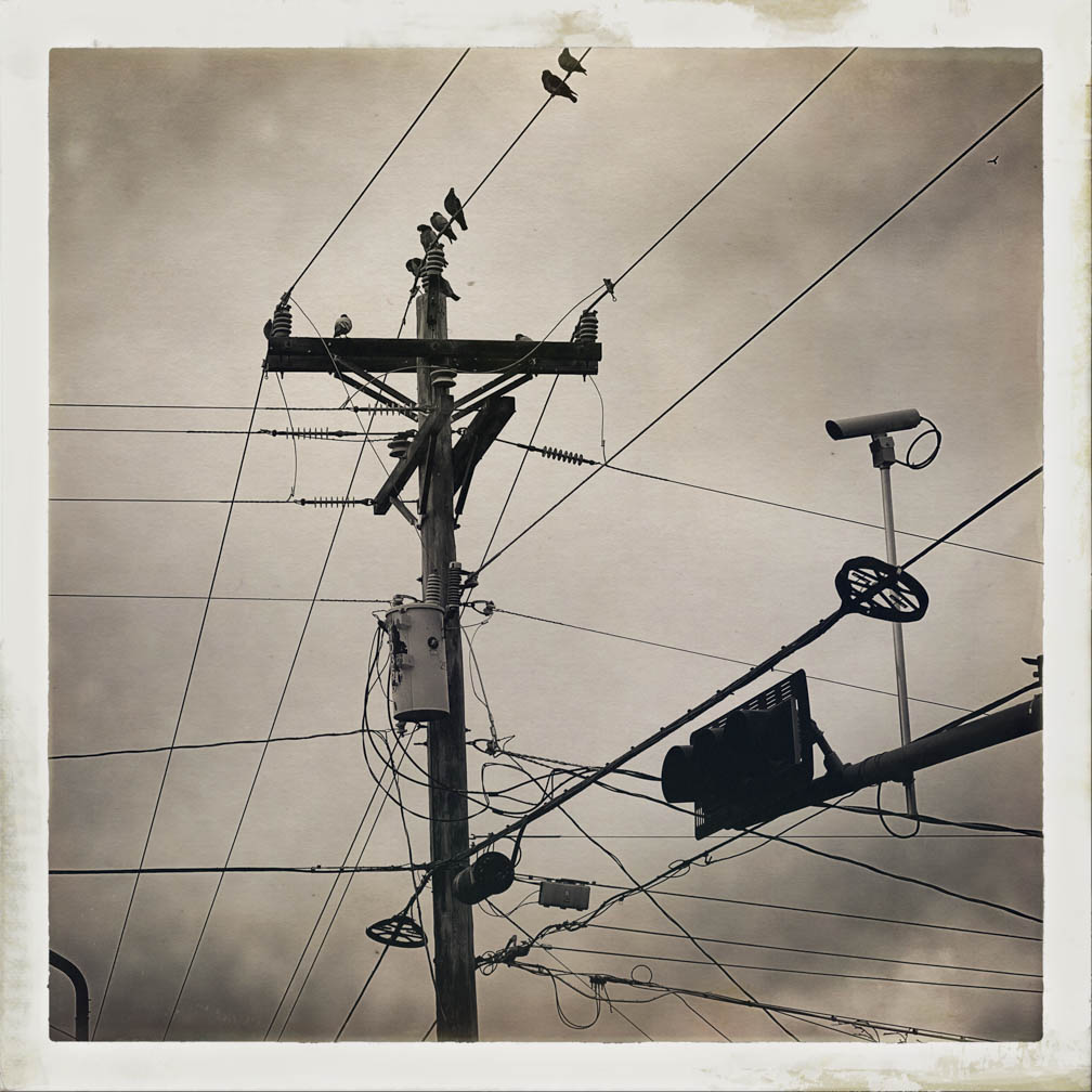
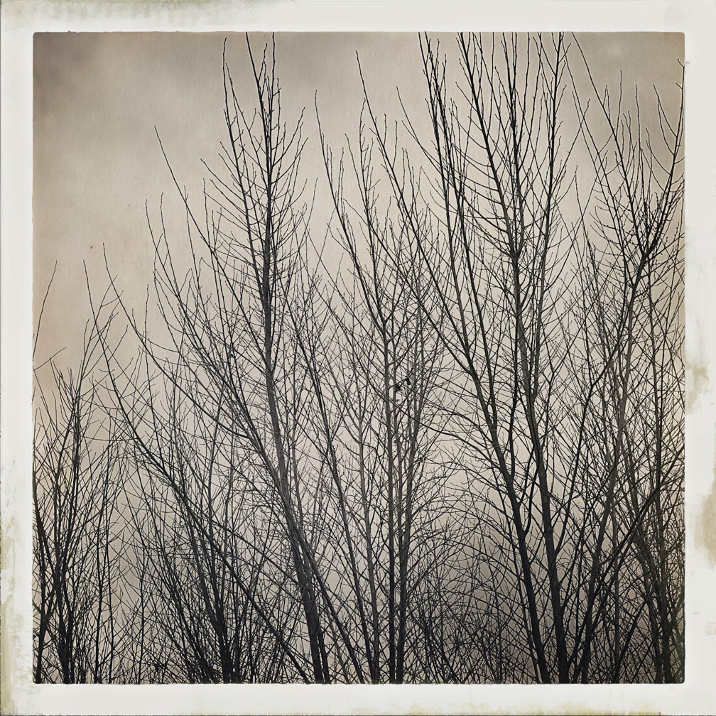
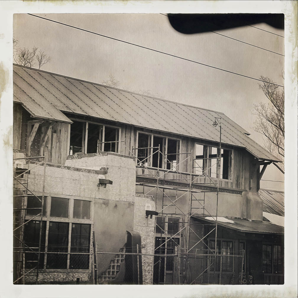
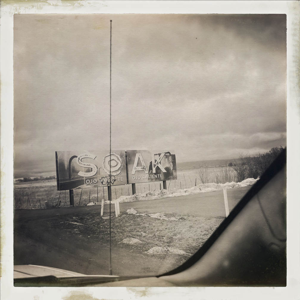
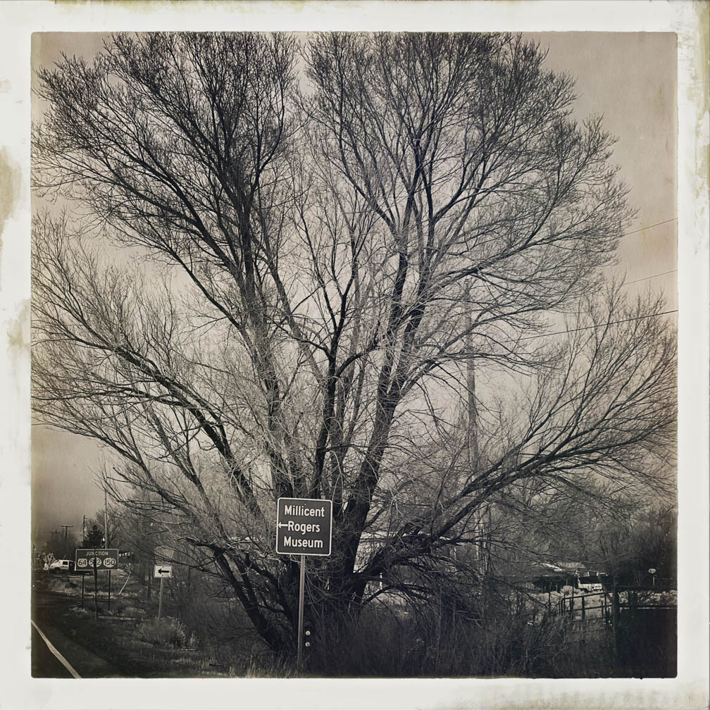
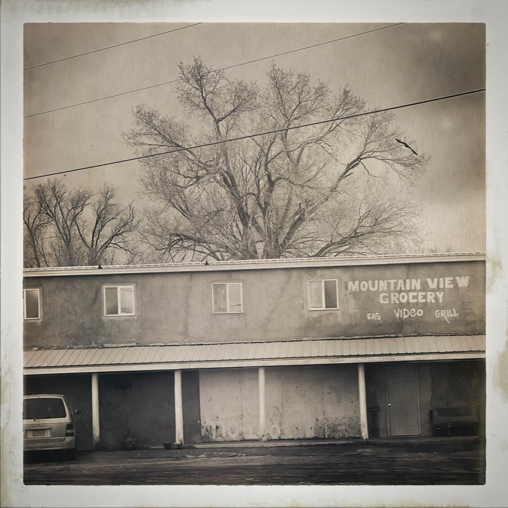
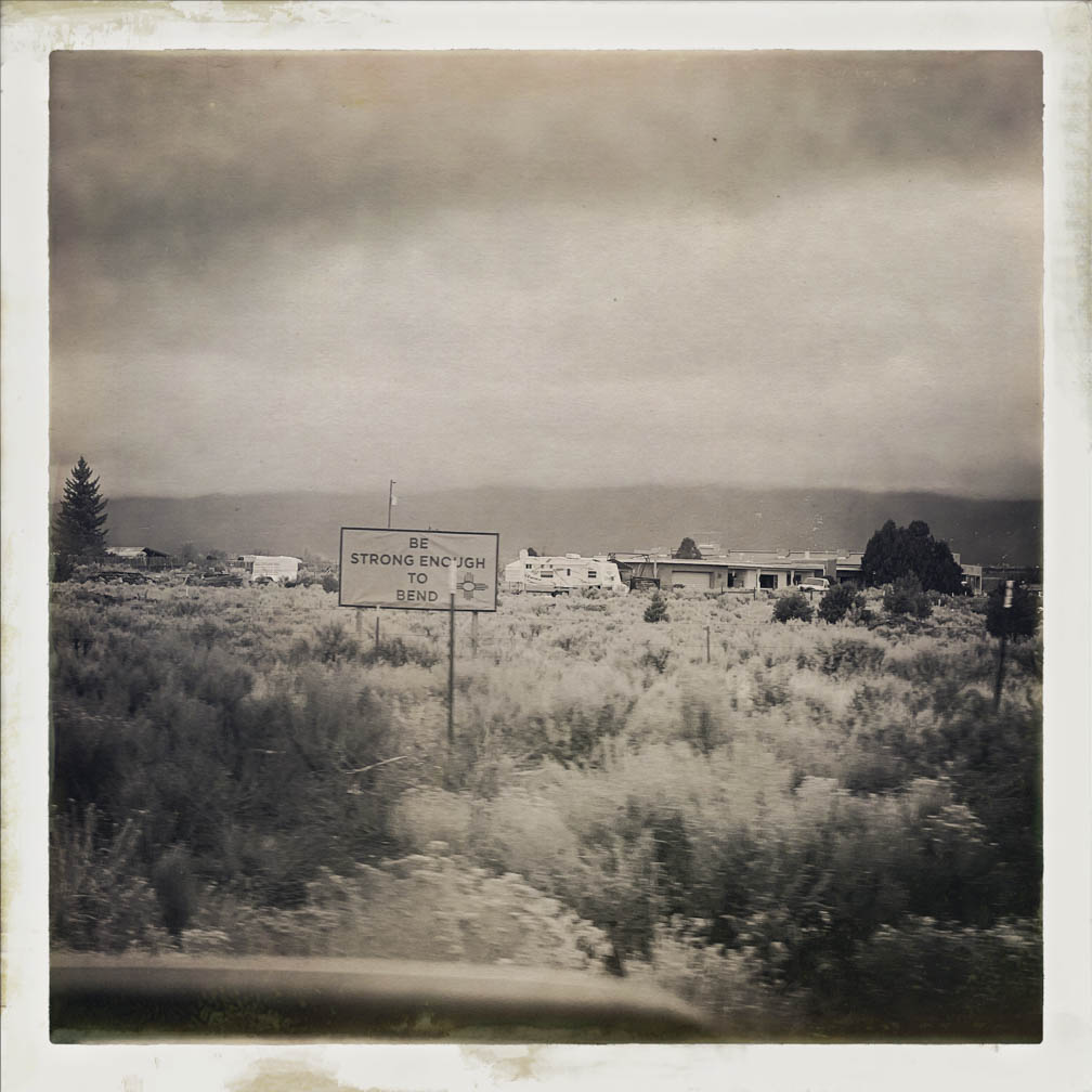
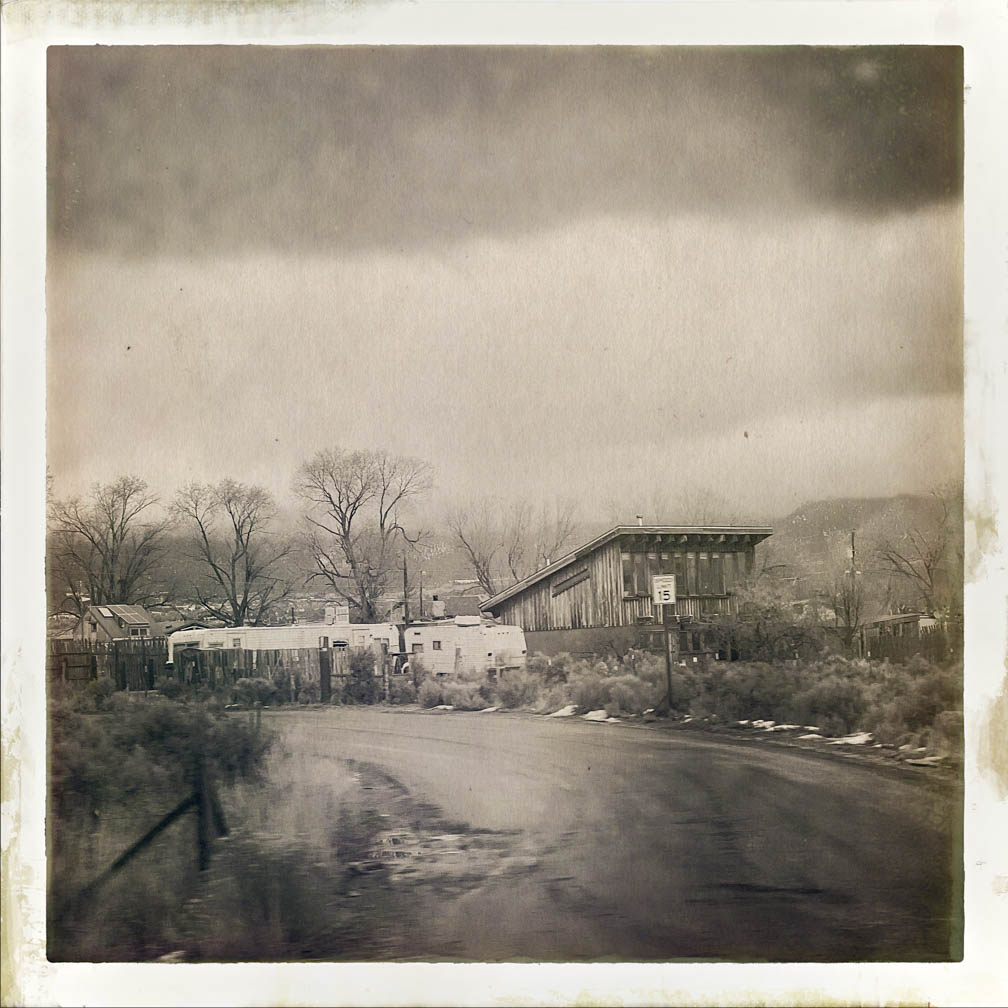
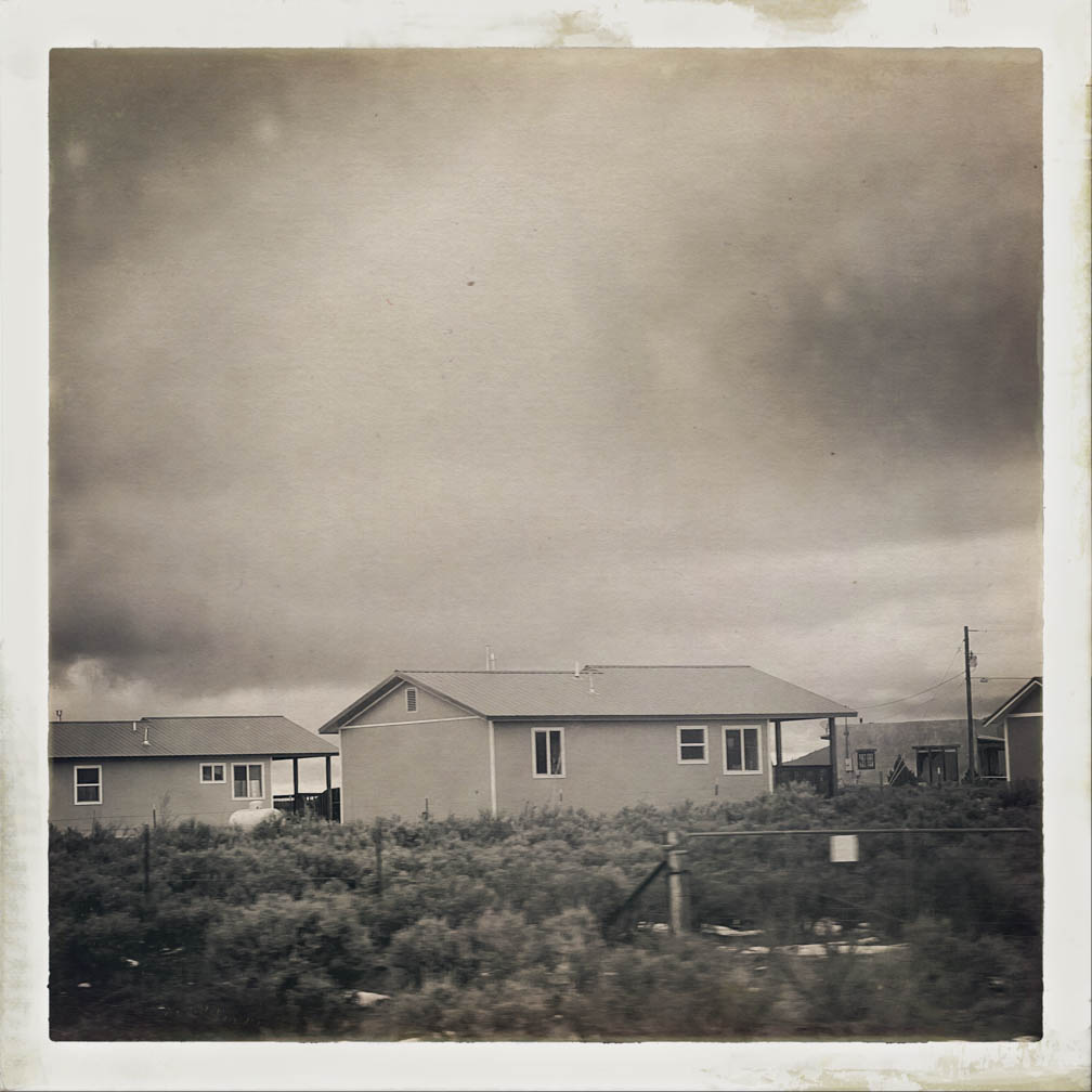
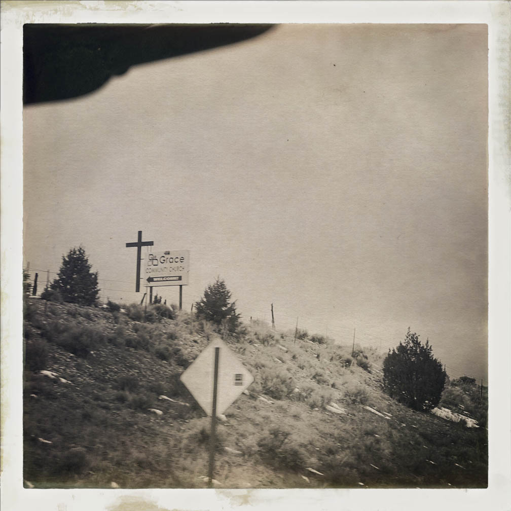
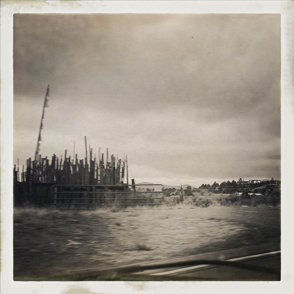
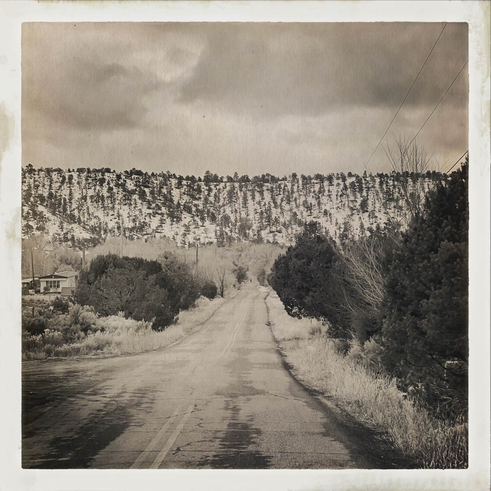
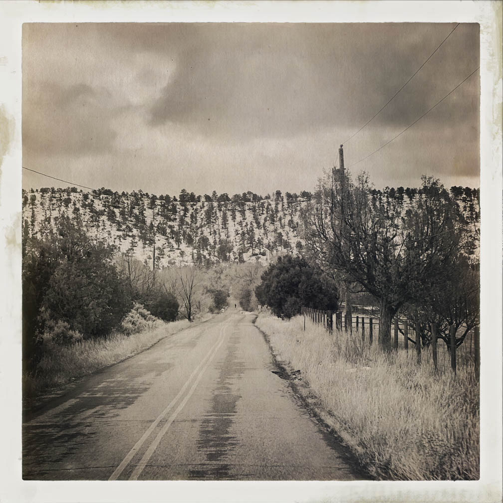
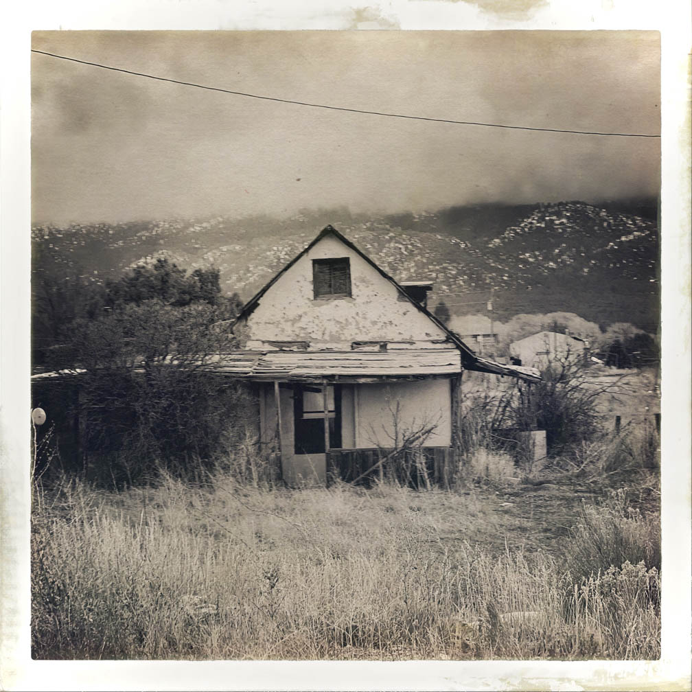
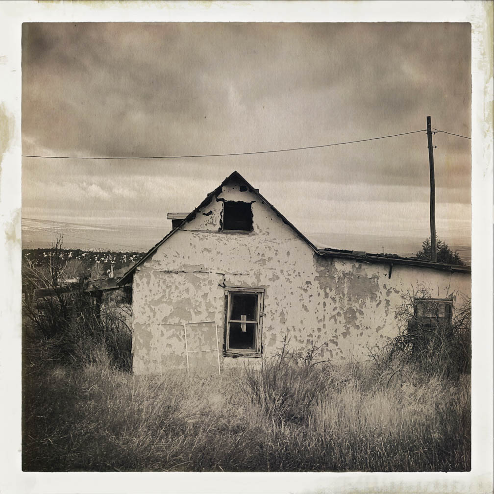
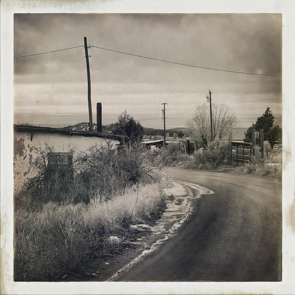
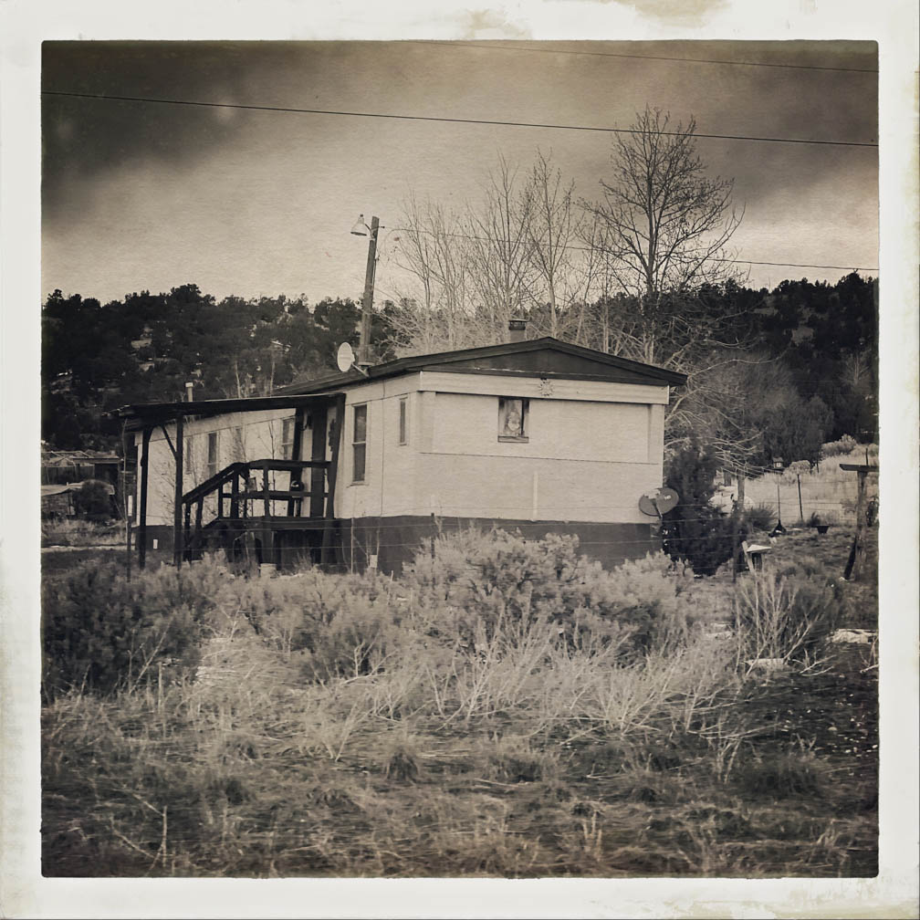
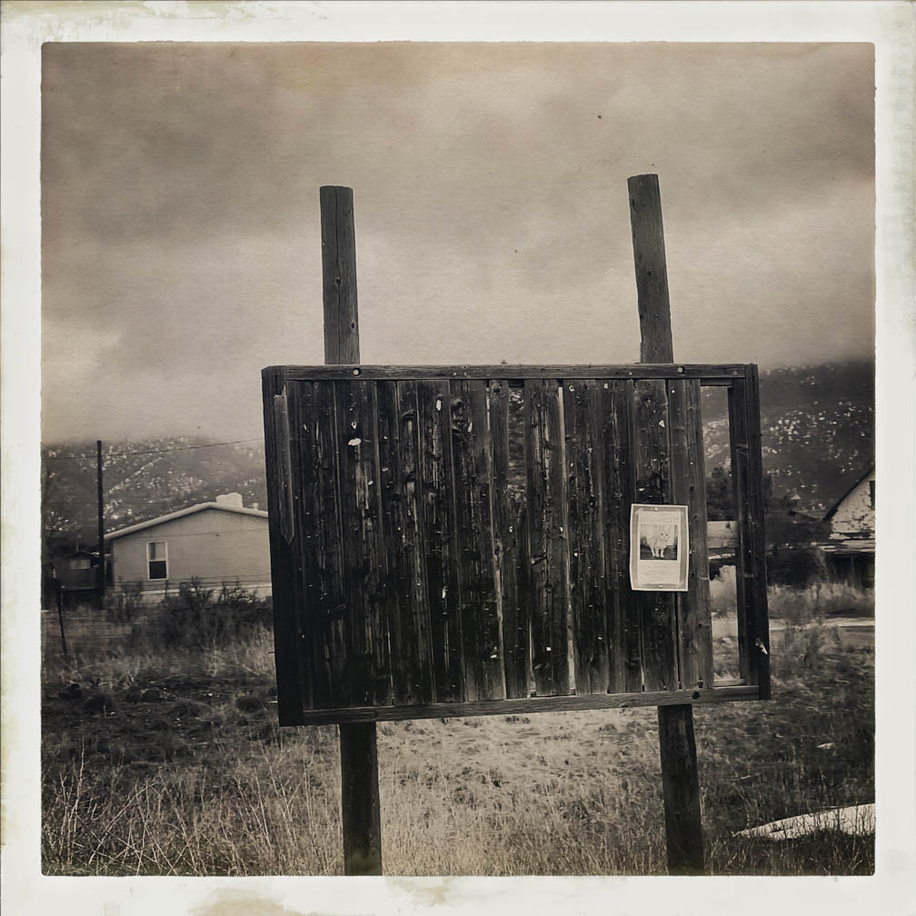
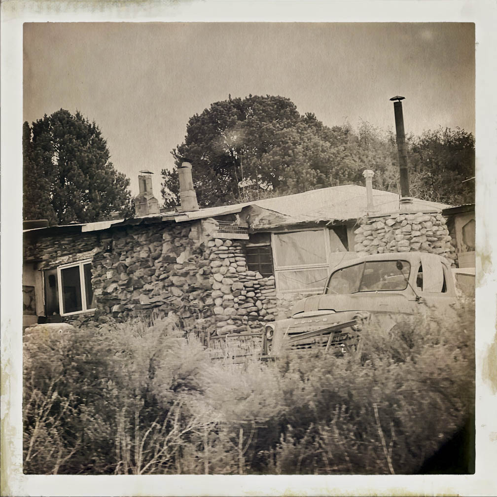
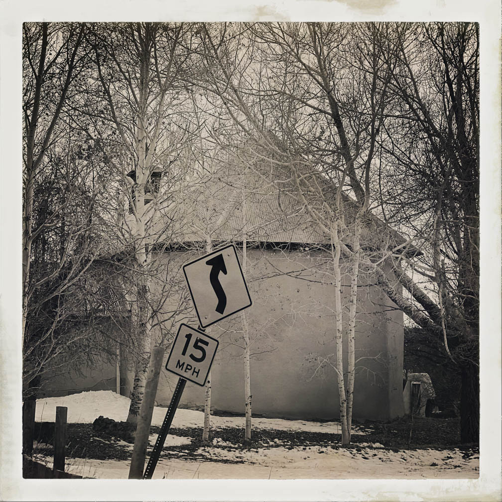
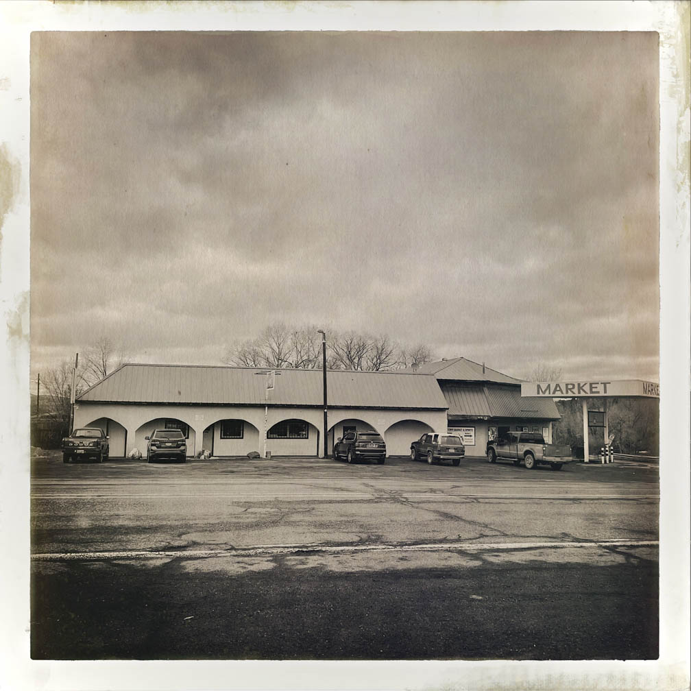
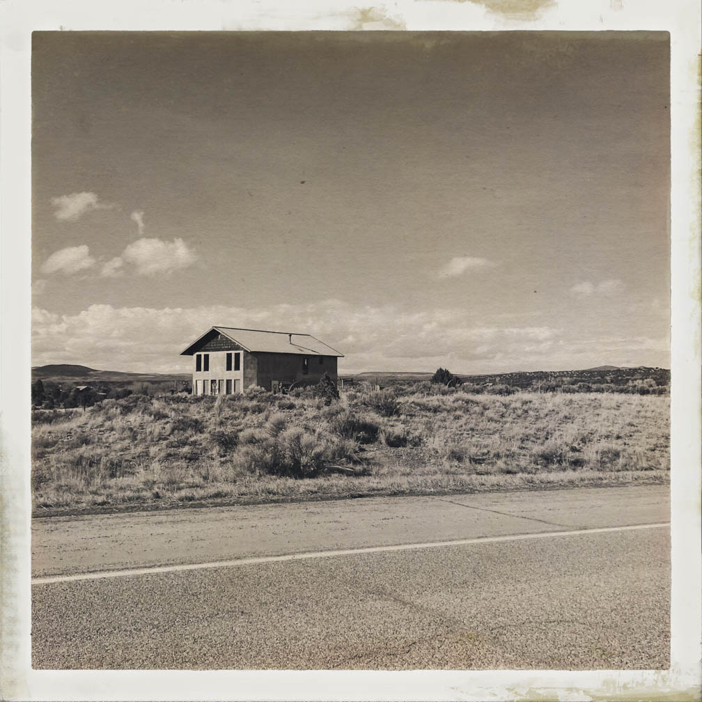
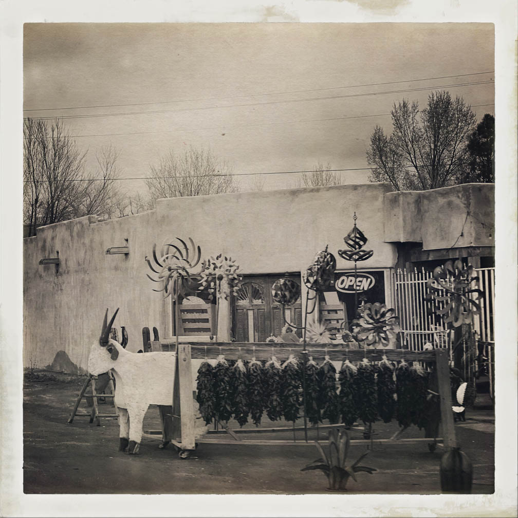
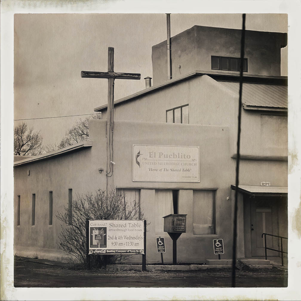
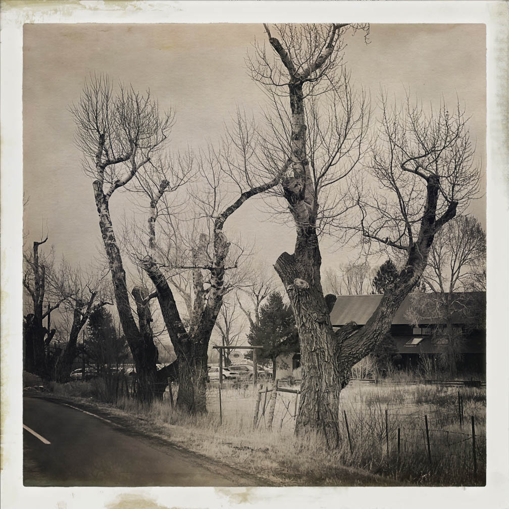
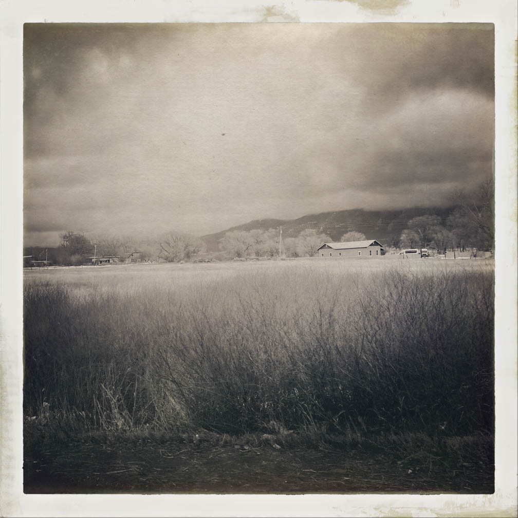
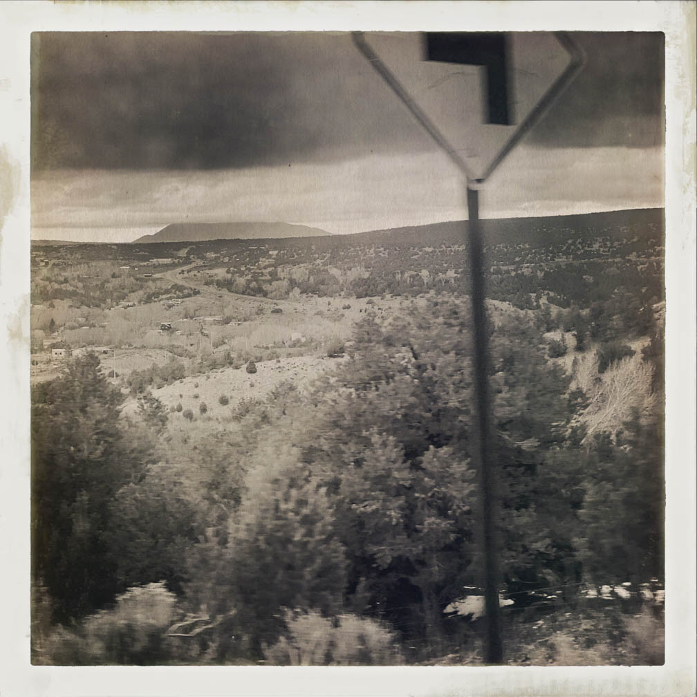
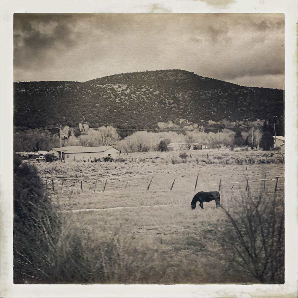
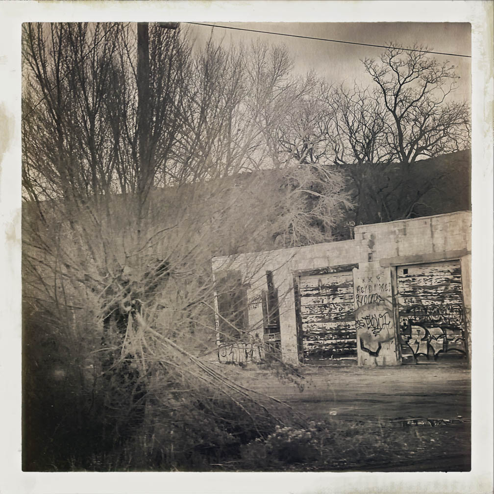
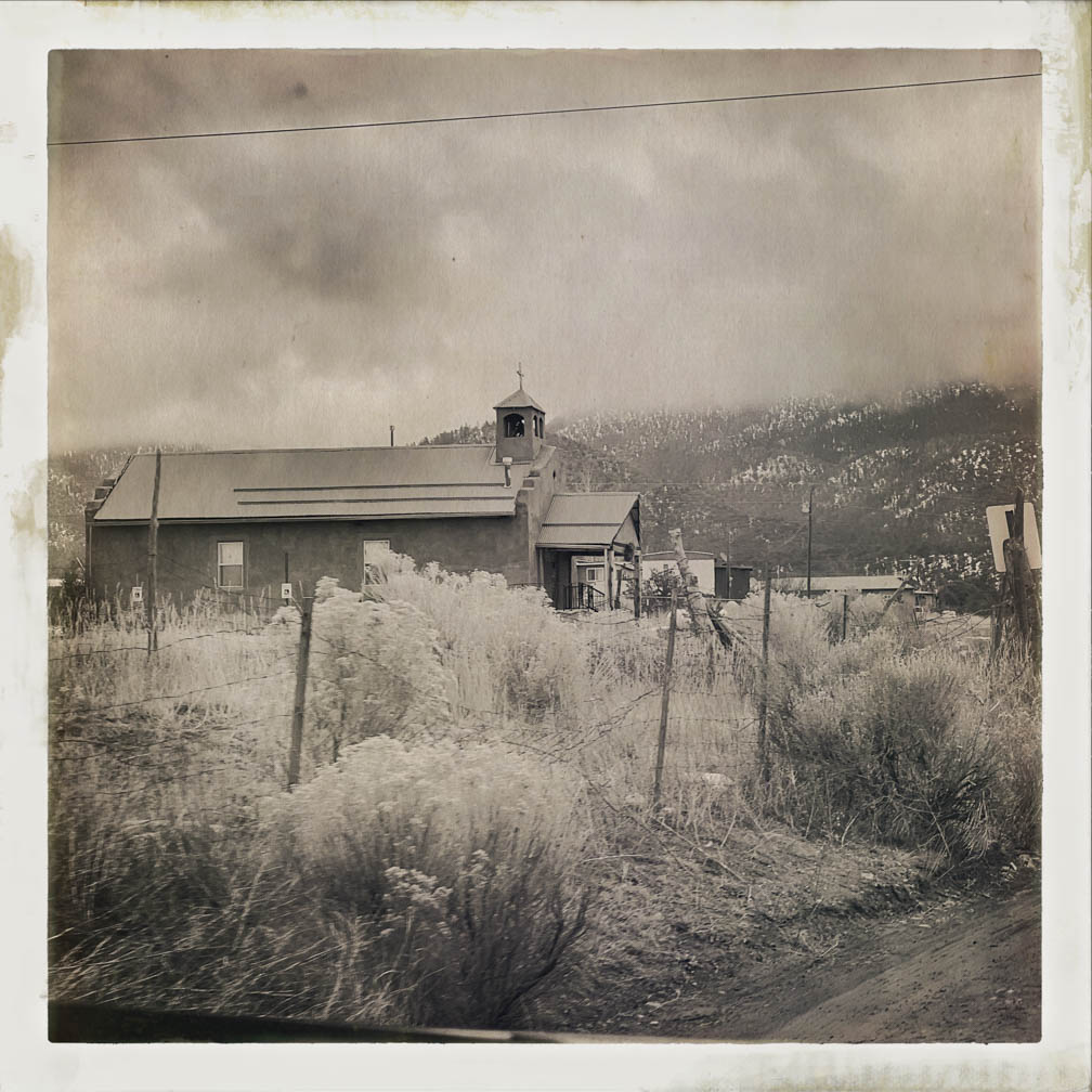
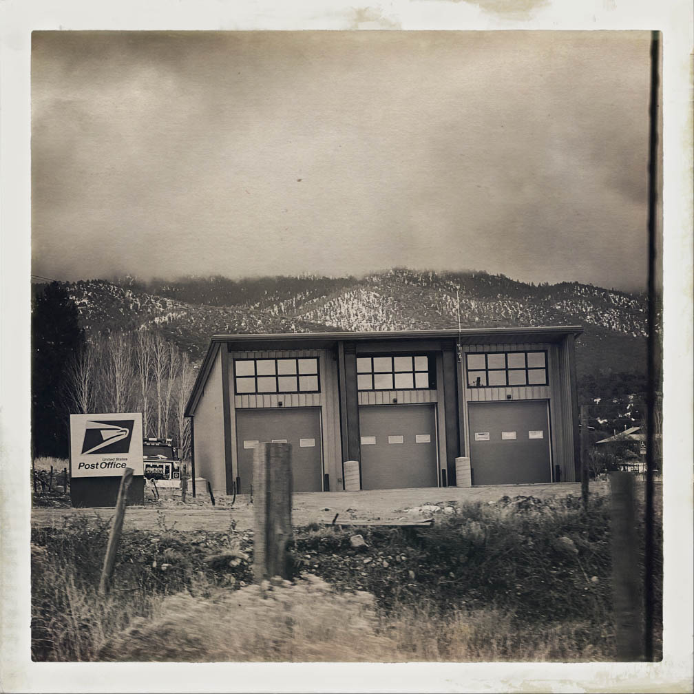
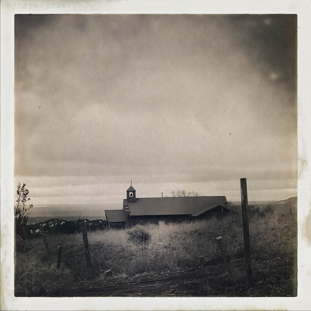
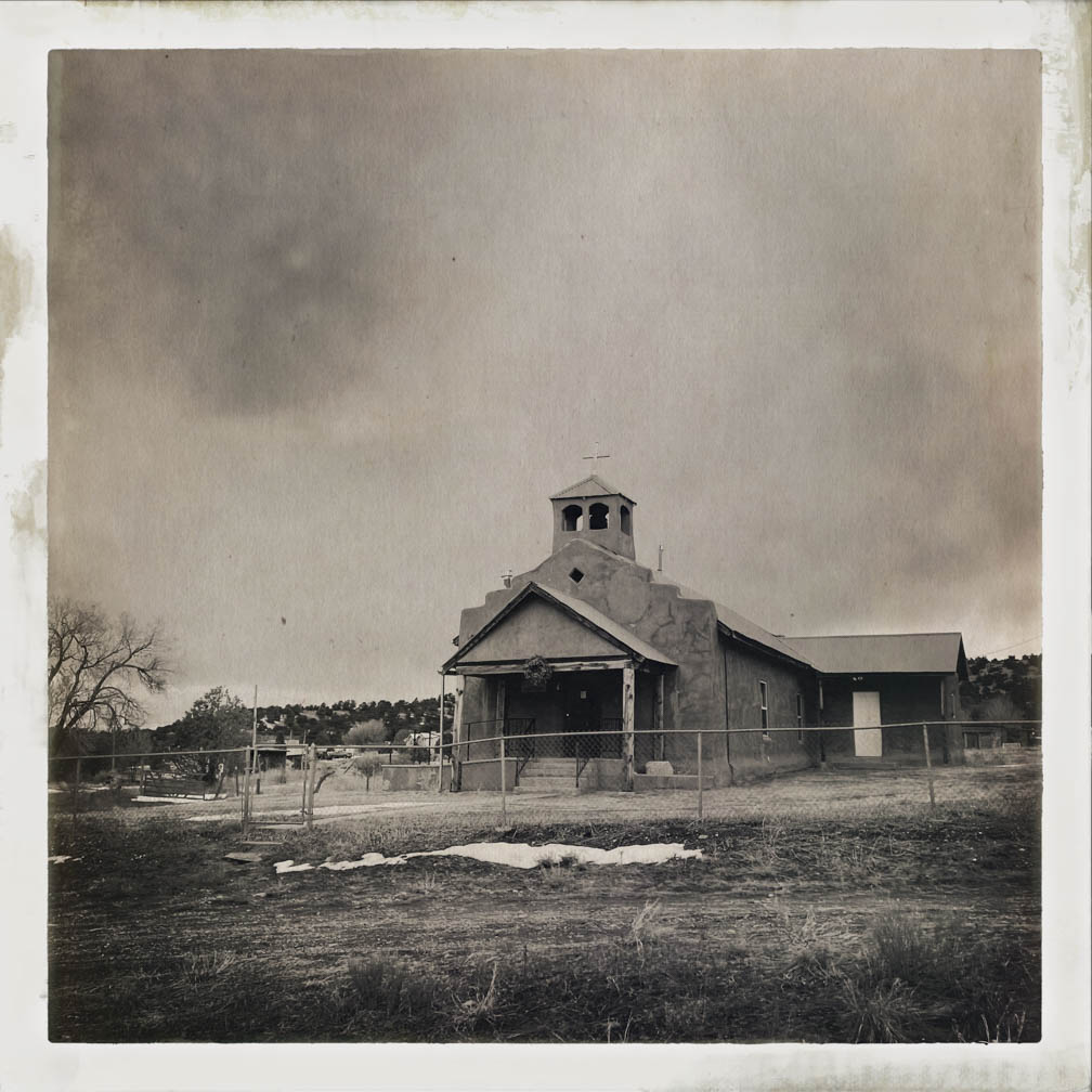
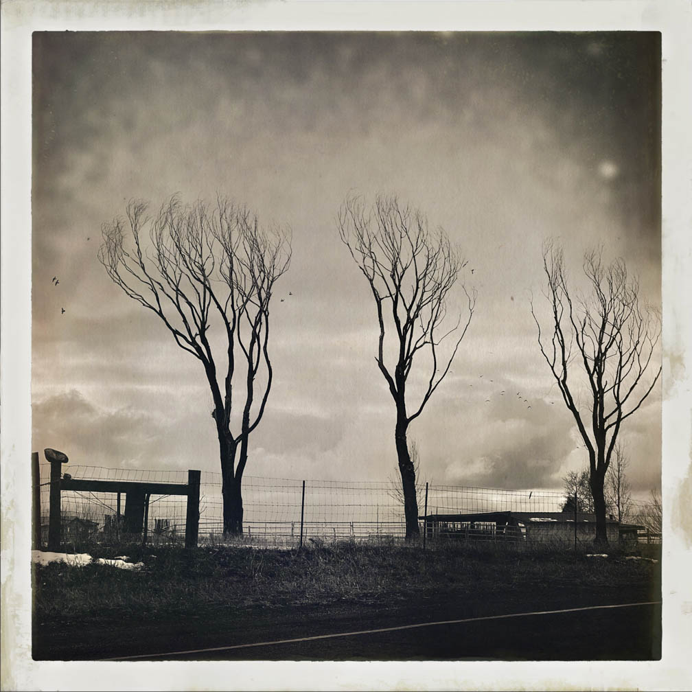
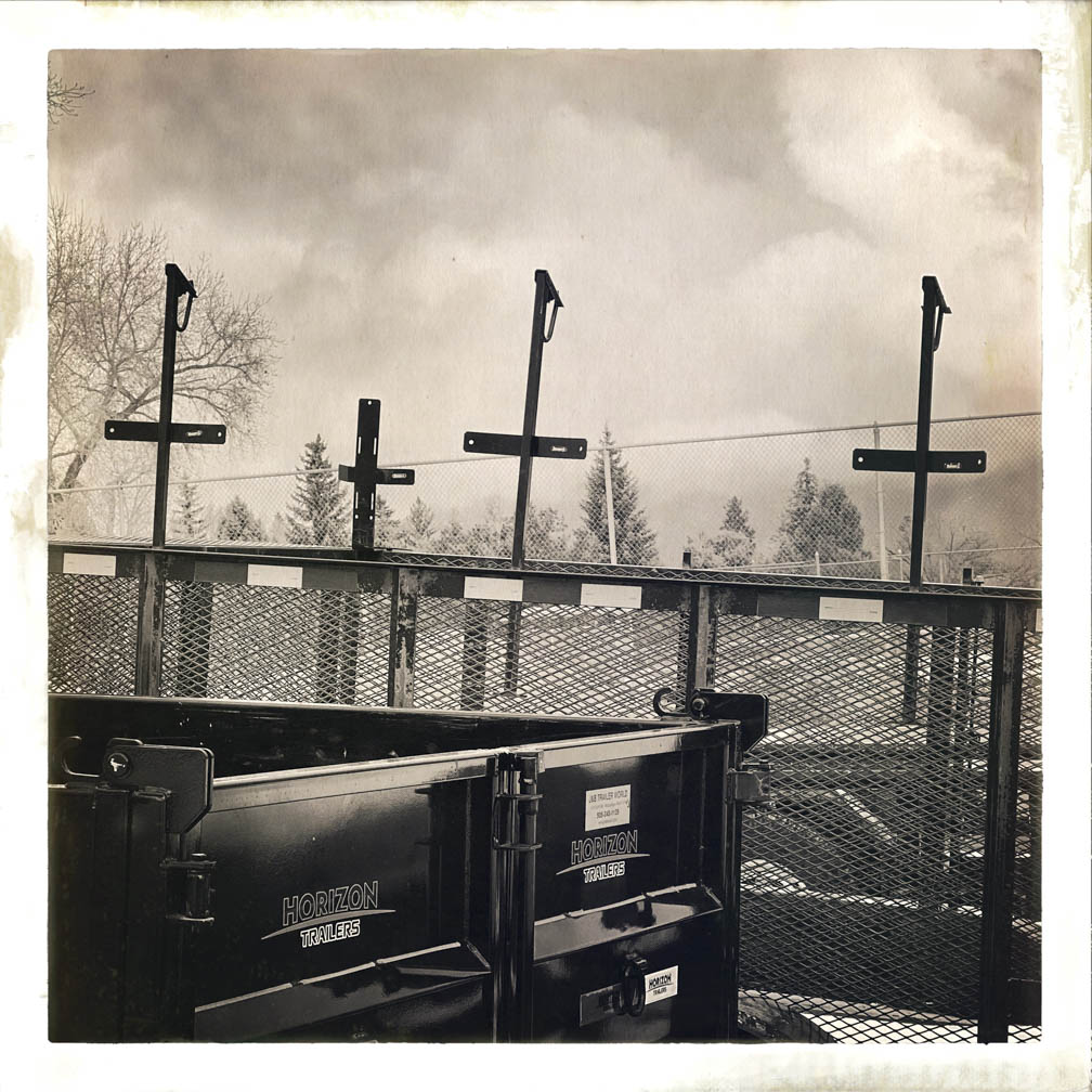
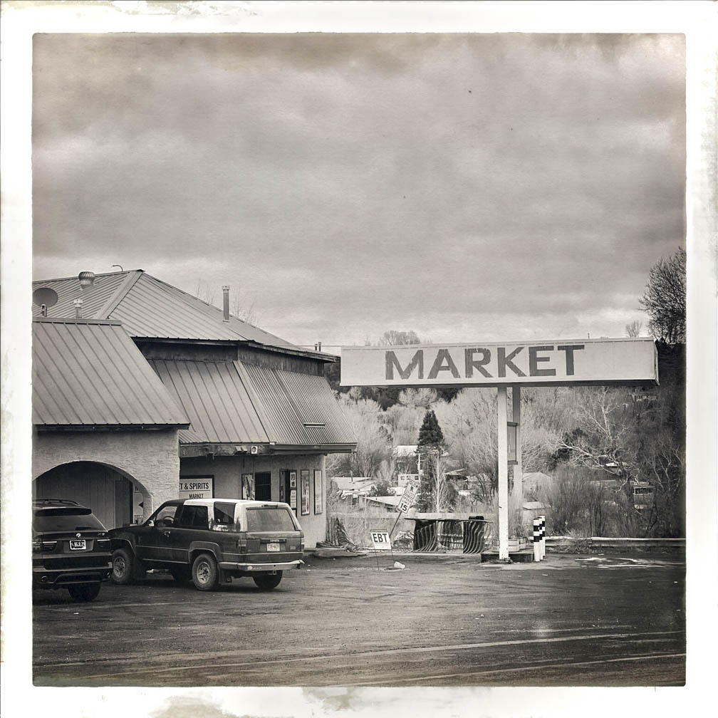
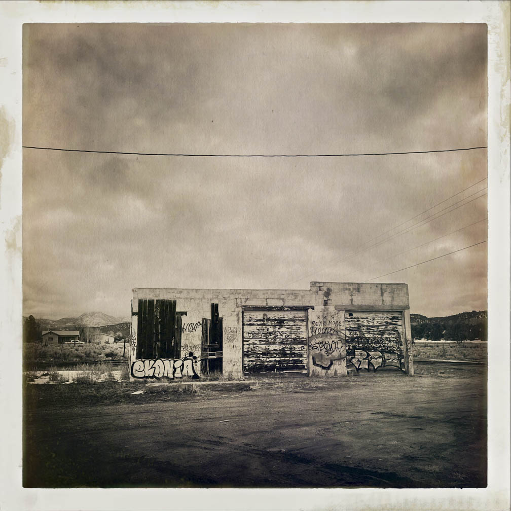
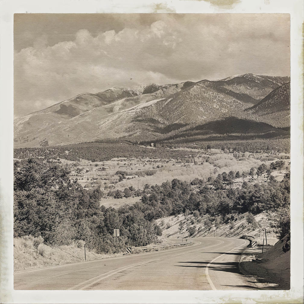
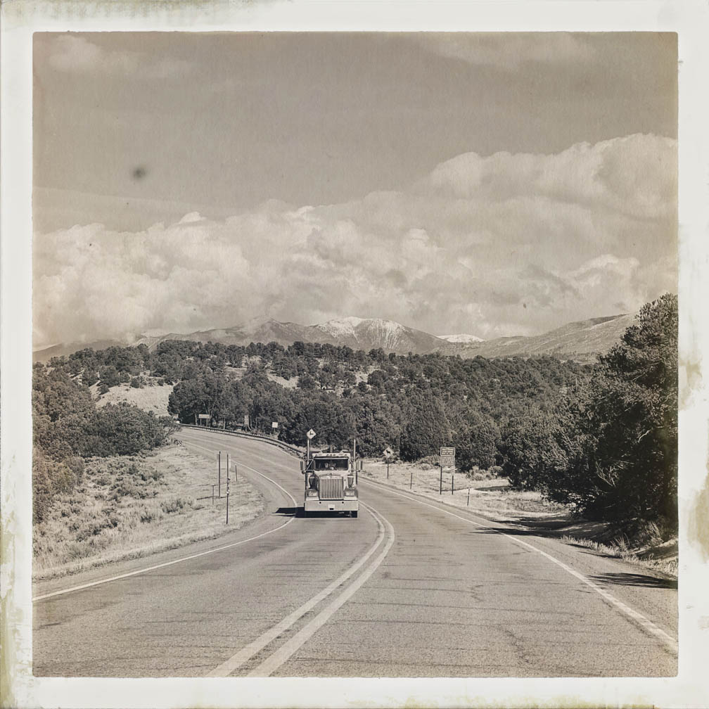
Hello from San Cristobal, NM! I hope everyone had a good week. This week, I captured some images on a rainy and overcast day in January 2024 from my car. I wasn’t driving, so I took the opportunity to shoot photos out the window using the Hipstamatic camera app on my iPhone. I know it’s been in existence for quite some time, but I’d never tried it out. Some of my clients use it frequently, and some use the app primarily for their image-making. These pictures are unedited and straight from the camera, using settings I selected just for fun.
I enjoyed the spontaneity and randomness of the subjects, with no preconceived outcome or expectations. I took these photos while traveling on highways 68, 64, and 522, from Taos to San Cristobal, as well as on Old Highway 3 through the village of San Cristobal. And… in no particular order.
I’m not a devotee of the hipstamatic app, and doubt I will be, but I enjoy playing, and that made for an enjoyable ride on a dull day.
Our Local Market in Arroyo Hondo
These hipstamatic iPhone pictures do bring out the nitty gritty elements of the region.
On another note…
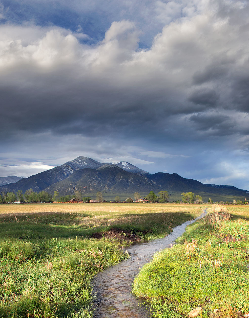
The acequia culture in New Mexico is a centuries-old tradition of community-managed irrigation systems that trace their origins to Spanish colonial times and even earlier indigenous practices. These communal irrigation ditches, known as acequias, are vital for agriculture in the arid Southwest, allowing communities to share and manage scarce water resources equitably. The acequia system is not just a method of irrigation but a cultural institution that fosters community cooperation, governance, and sustainability. It involves a mayordomo, or ditch boss, who oversees water distribution and maintenance, and regular meetings where members, or parciantes, discuss water rights and responsibilities. This system reflects a deep connection to the land and water, emphasizing the importance of collective stewardship and resilience in the face of environmental challenges. Acequias are recognized for their cultural and historical significance, embodying a unique blend of indigenous and Hispanic heritage that continues to shape the landscape and communities of New Mexico today.
Taos Pueblo Mountain Acequia, El Prado.
As always, thank you for taking the time to look. I hope you enjoyed them. Join me next week as I share more photographs of the idyllic vistas, like the one above, found around northern New Mexico, highlighting the beauty and cultural significance of the acequias. Have a wonderful week! G
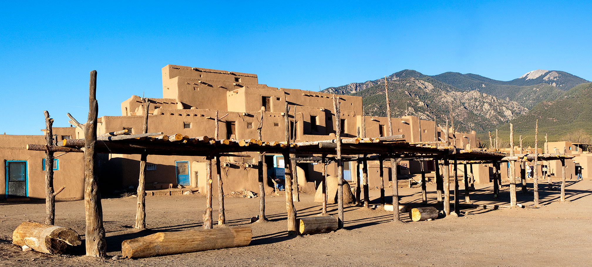
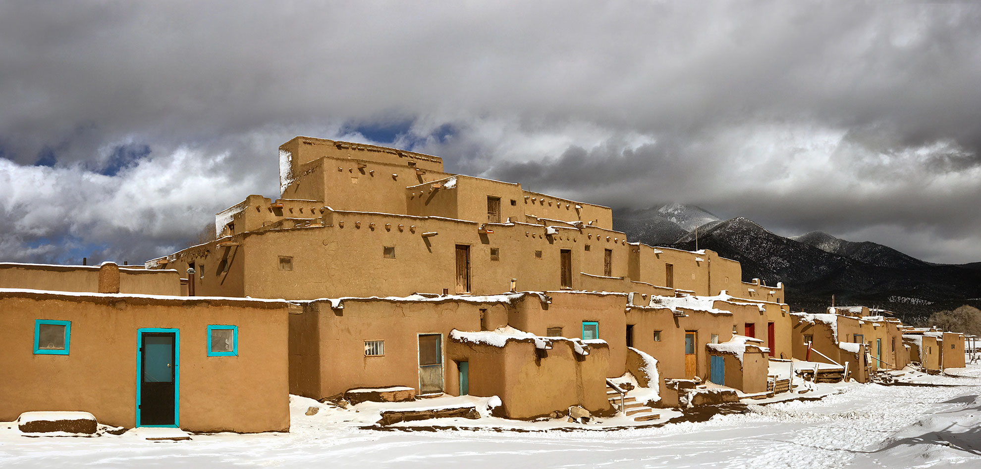
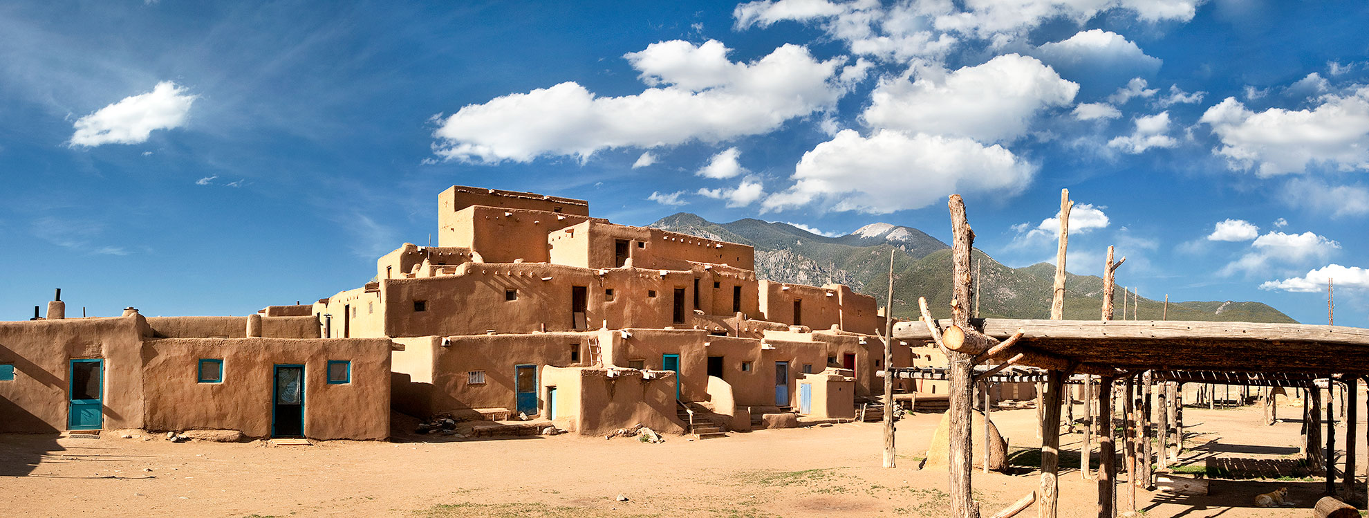
Greetings from San Cristobal, NM. This week, three views of the North House at Taos Pueblo. If you are fortunate to be in Taos this year, put the Taos Pueblo on your list of places to visit.
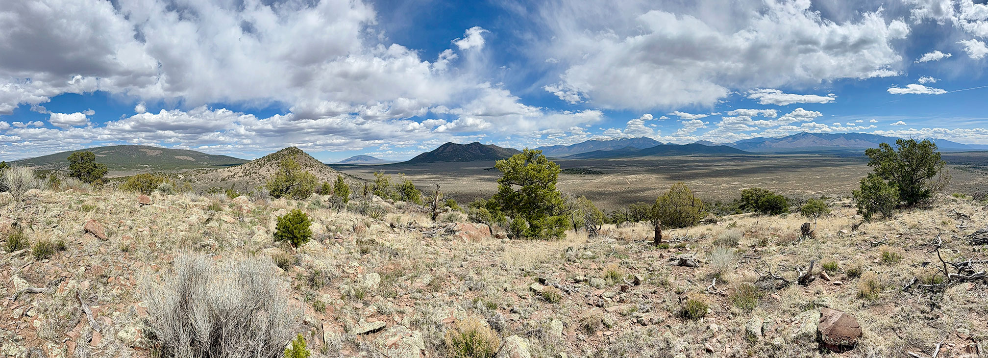
I hope everyone had a good week. A short post this week, nonetheless, an expansive one. Three panoramas, taken before winter, during winter, and the following spring, plus a view on a spring day, from a hill in our National Monument. Enjoy.
Taos Pueblo North House, before winter.
Taos Pueblo, located in northern New Mexico, is a remarkable Native American community that has been continuously inhabited for over a thousand years. This UNESCO World Heritage Site is renowned for its multi-storied adobe buildings, which exemplify traditional Pueblo architecture. The structures, made from earth, straw, and water, are meticulously maintained by the Taos people, who are committed to preserving their cultural heritage. The Pueblo is nestled at the base of the Sangre de Cristo Mountains, offering a stunning backdrop that enhances its historical and spiritual significance. Visitors to Taos Pueblo can experience the rich traditions and vibrant culture of the Taos people, who continue to uphold their ancestral customs and way of life.
North House, in winter.
North House, in spring.
On a spring hike last week, up a small hill with expansive views in the Rio Grande del Norte National Monument. Ute Mountain in the distance, left of center, and San Cristobal, where we live, is in the foothills behind the tree on the right.
The Rio Grande del Norte National Monument.
The mountains in this view, from left to right, are: Cerro de la Olla, Brushy Mountain, Ute, Cerro Chiflo, the Latir Peaks, Guadalupe Mtn North and South, Flag Mtn, and Lobo Peak. The hill we were standing on (not named) is only 333 feet up, but with excellent vistas.
We also re-visited this old corral out there in the middle of nowhere.
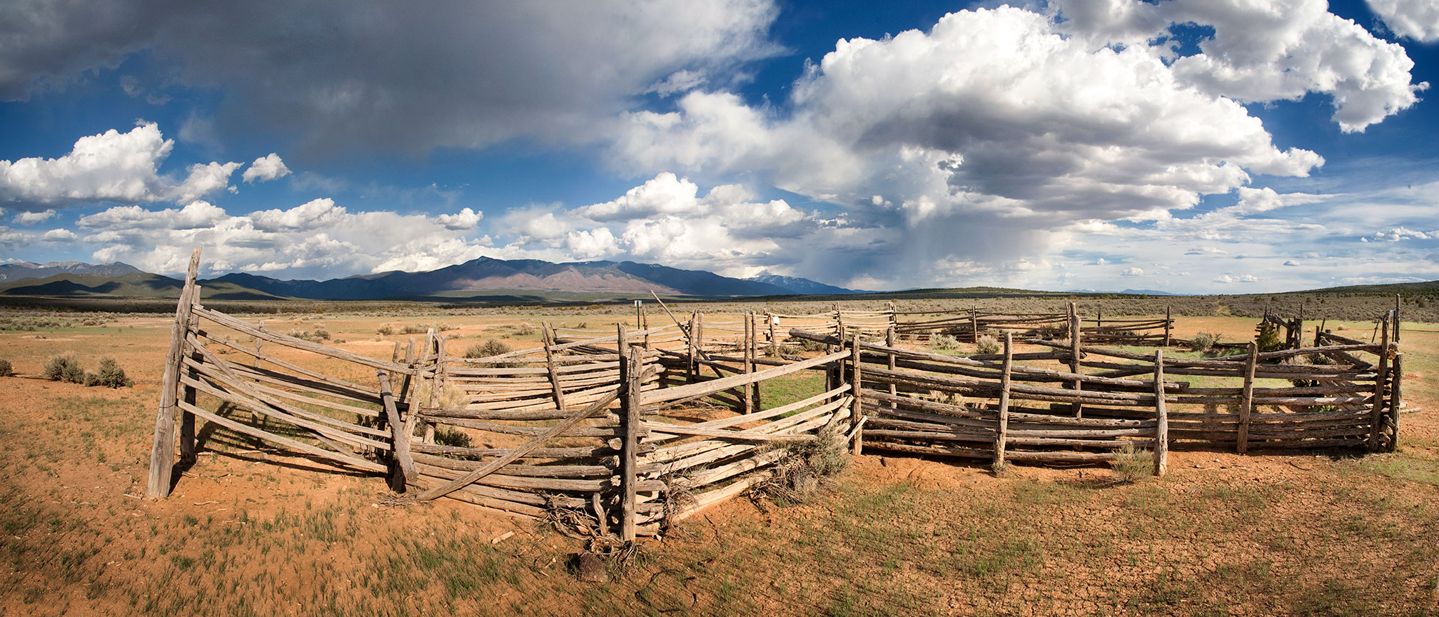
Old corral, in the Rio Grande del Norte National Monument.
Hello from San Cristobal, NM. I hope everyone had a great week. It’s raining here today. We are very happy about that. This week, more random selections from the archives, including the San Luis Valley, El Rito (west), and northern New Mexico.
I hope you enjoy!
Random selections from bygone days.
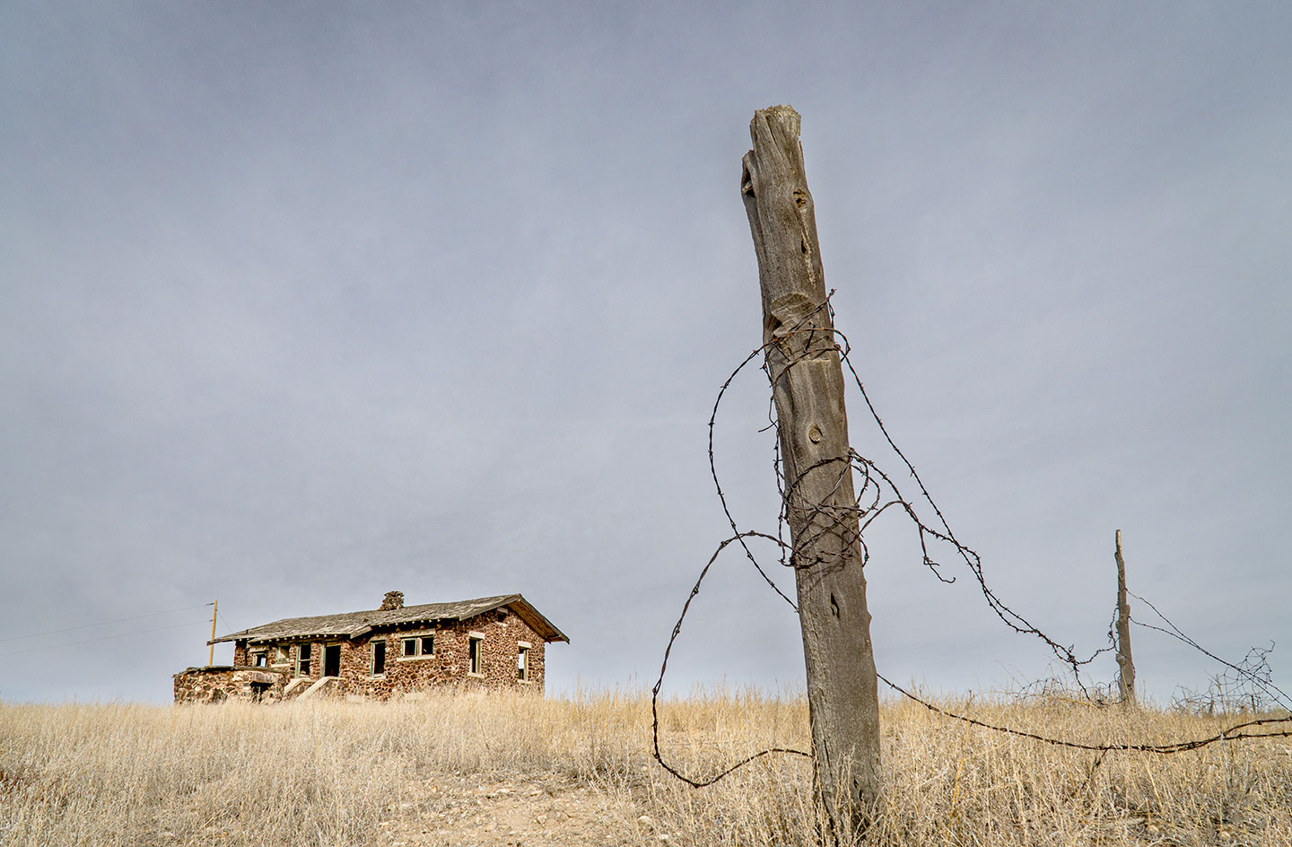
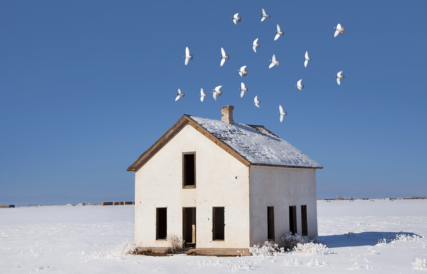
Stone house and fence, San Luis Valley, Colorado.
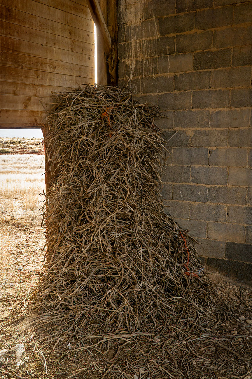
Near the house in the photo above, is owl nest on a platform of sticks in a potato bunker. Initially, I thought it might be a magpie or hawk nest, but then an owl flew directly over my head from another part of the building and out through the entrance. Over the years, I’ve seen more owls in different bunkers, alas no pictures, yet.
Owl nest in a potato bunker, Colorado.
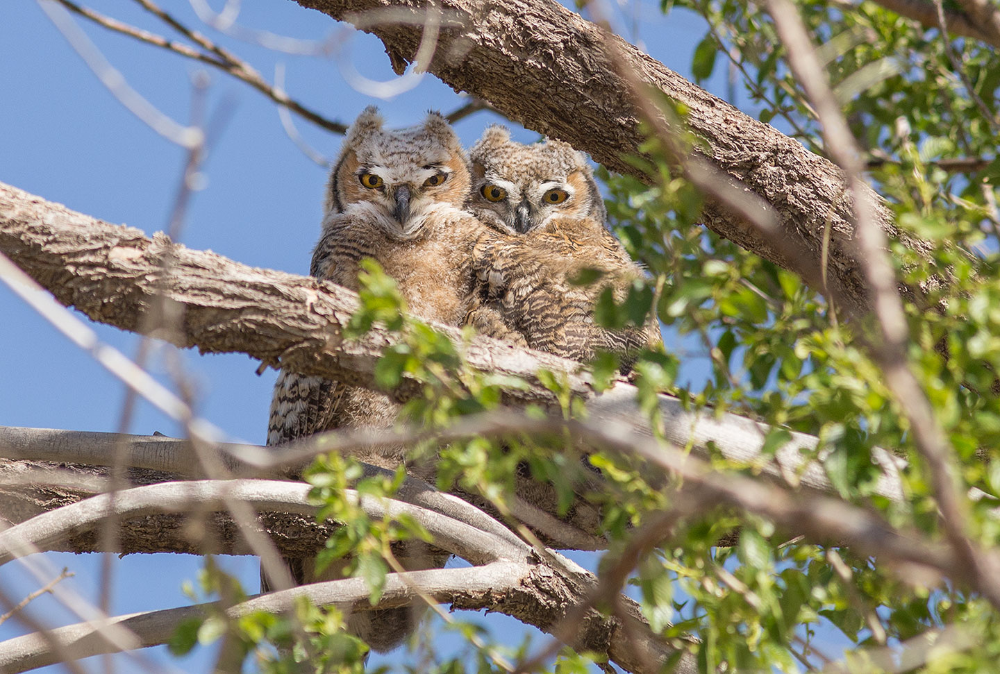
On a different trip these two juvenile great horned owls were seen in a tree close bye to the bunker..
Juvenile great horned owls.
In the San Luis Valley of Colorado, potato storage bunkers/cellars play a crucial role in preserving the region’s abundant potato harvests. These bunkers are specially designed facilities that maintain optimal temperature and humidity levels to extend the shelf life of potatoes, preventing spoilage and sprouting. The valley’s high altitude and arid climate make it an ideal location for potato farming, and the storage bunkers ensure that the produce can be stored for months, allowing farmers to supply fresh potatoes year-round. These structures are often partially underground, leveraging the earth’s natural insulation properties to maintain a stable environment, which is essential for maintaining the quality and nutritional value of the potatoes.
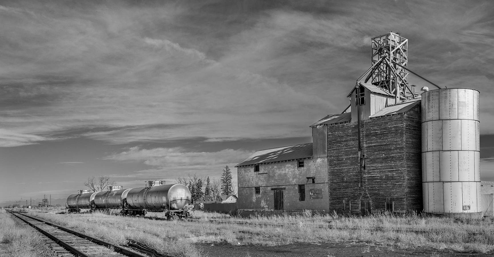
Railway depot in Romeo, Colorado.
Romeo, Colorado.
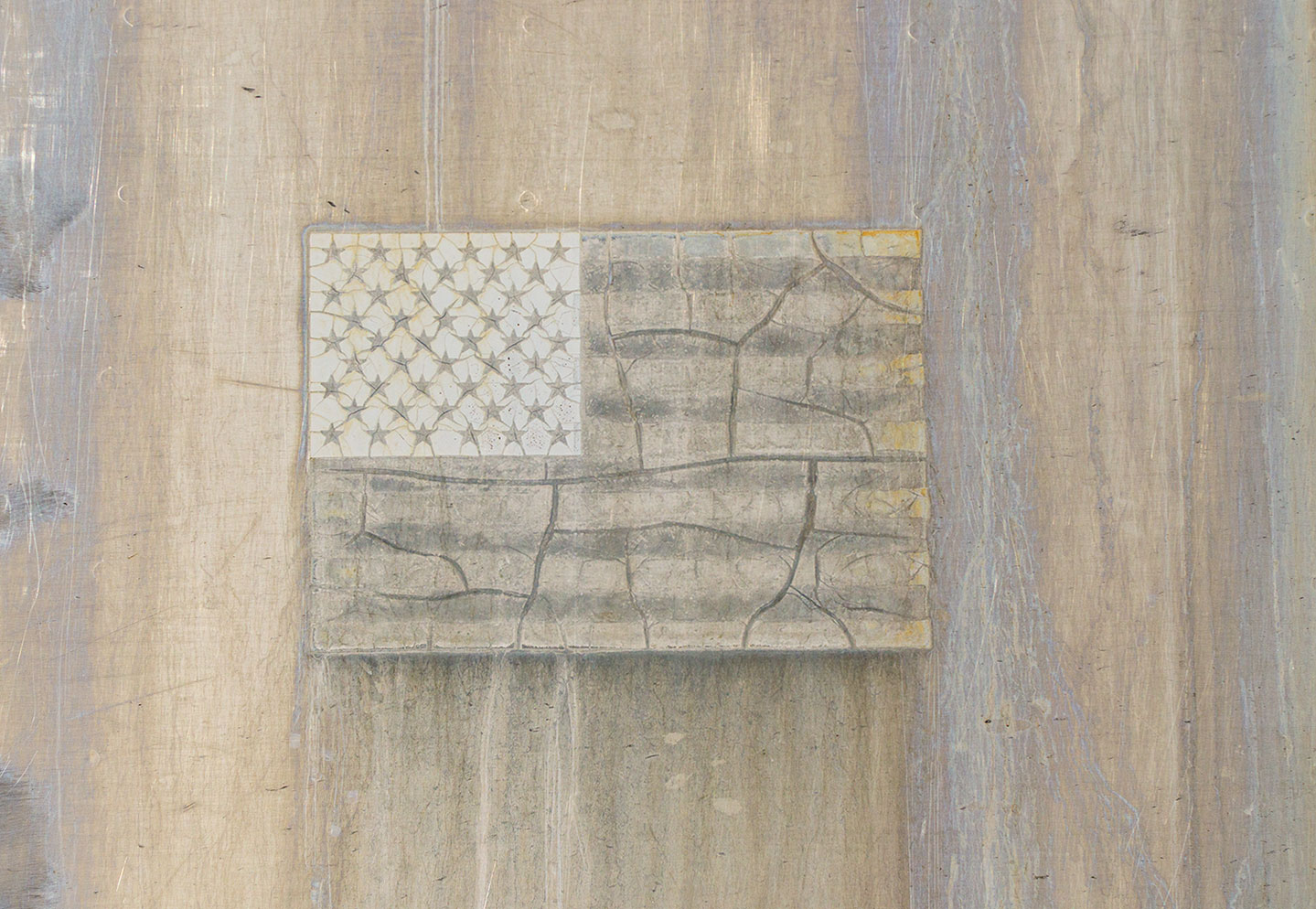
A faded flag emblem on the side of a carriage at the Alamosa, railyards. Maybe I’ll make a post on images from the railyards soon.
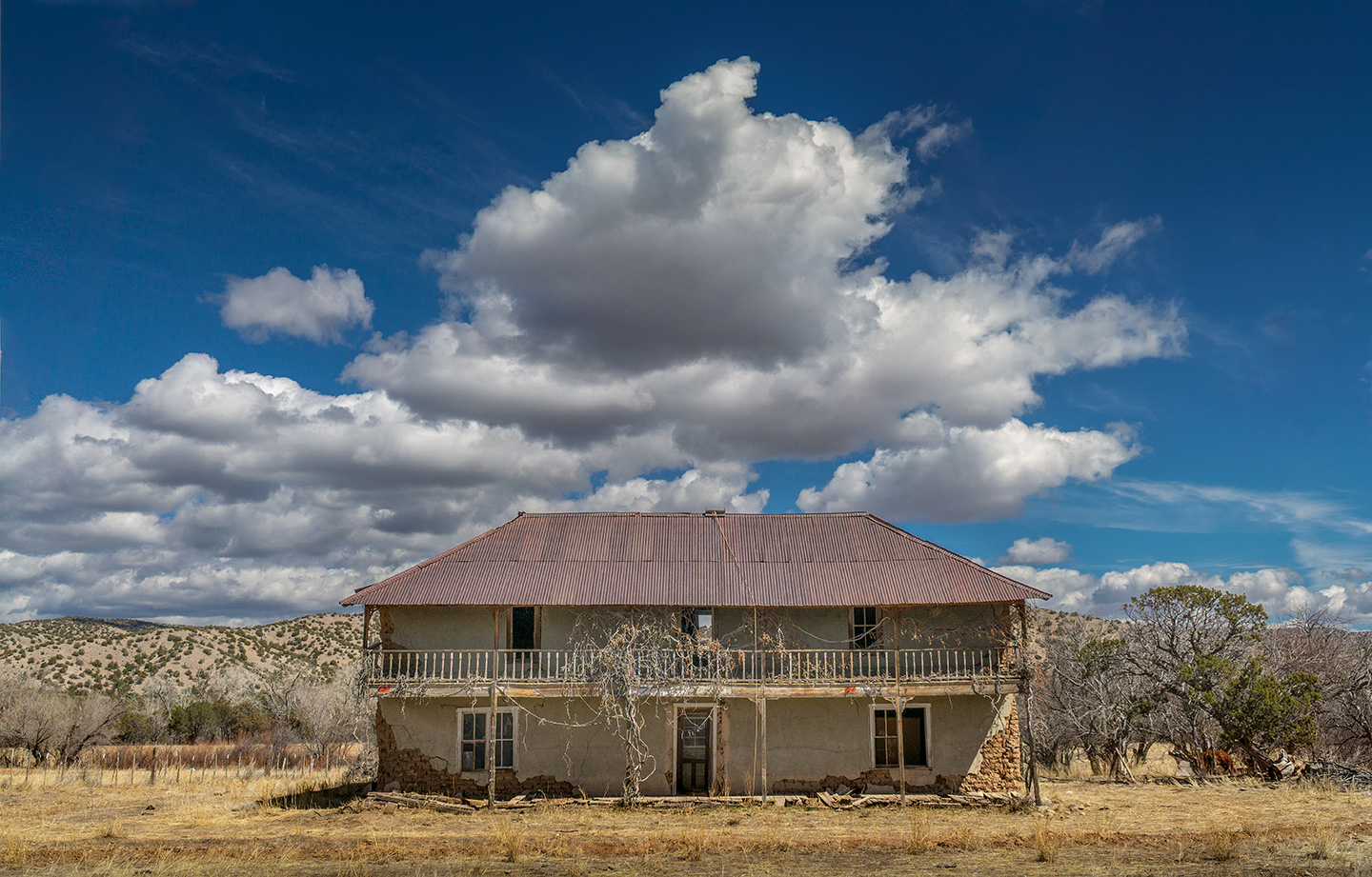
The El Rito Mansion, on a Spring photo tour/workshop. Since this photo was taken, I’ve been in touch with the family and relatives who grew up here.
El Rito NM.
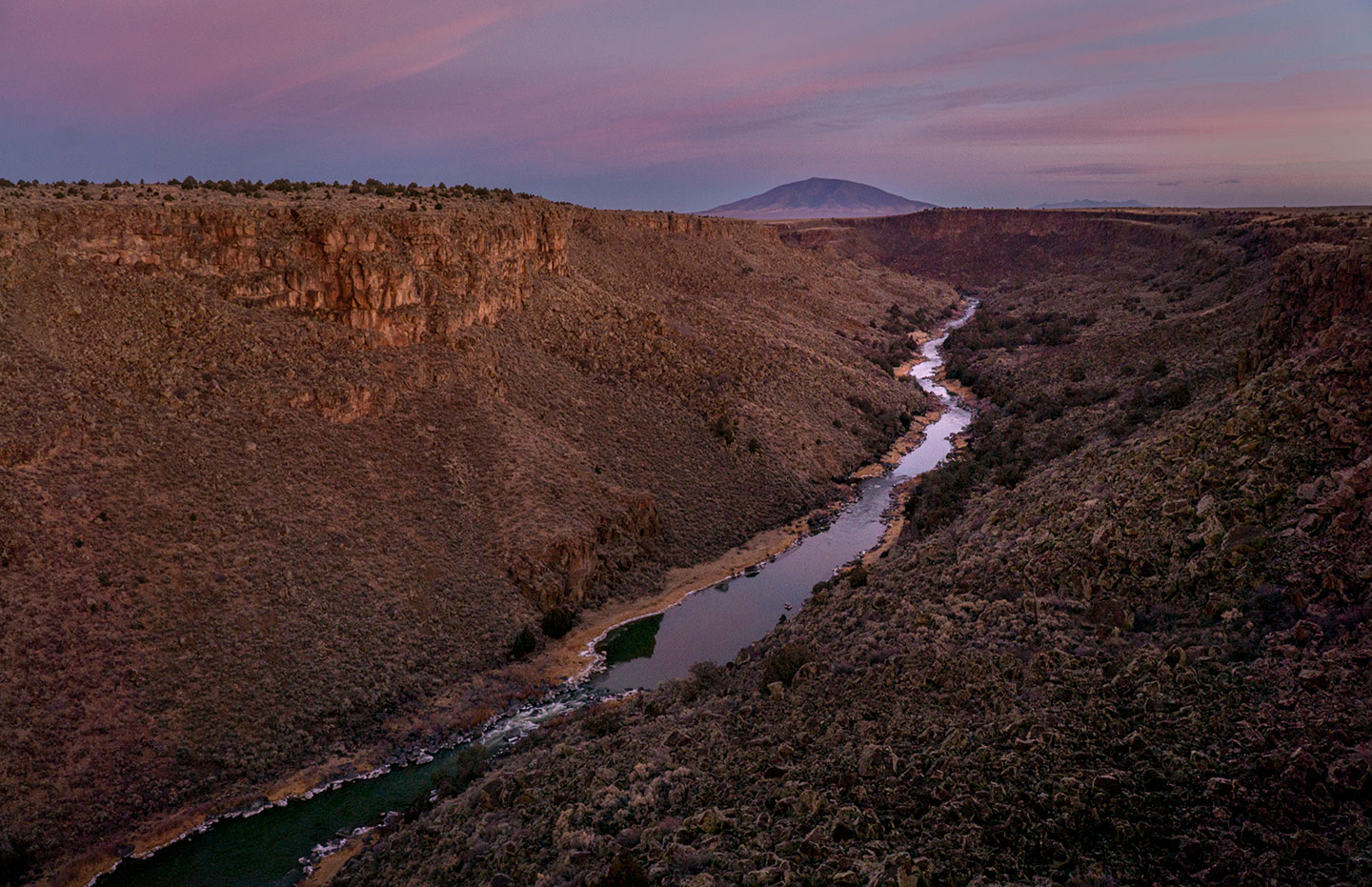
At the end of a good day of shooting, the soft twilight, on the Rio Grande Gorge, and Ute Mountain, NM. A hand held image shot in near darkness and lightened in Photoshop® to bring out the lavendar hues and highlight on the river.
Rio Grande Gorge, Ute Mountain, NM.
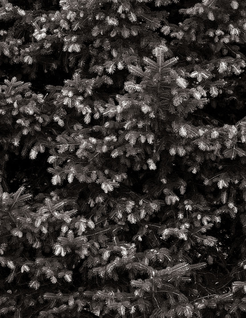
New growth on a pine tree in Arroyo Seco, NM. The new growth on the branches are a lighter green than the rest of the tree. Edited as a black and white image, this is what I came up with.
Pine tree, Arroyo Seco, NM.
As always, thanks for visiting and looking. Have a great week. G
Hello from San Cristobal, NM. I hope everyone had a great week. This week, I’m revisiting a trip to Shiprock and beyond, including Chaco Canyon, and the High Road to Taos.
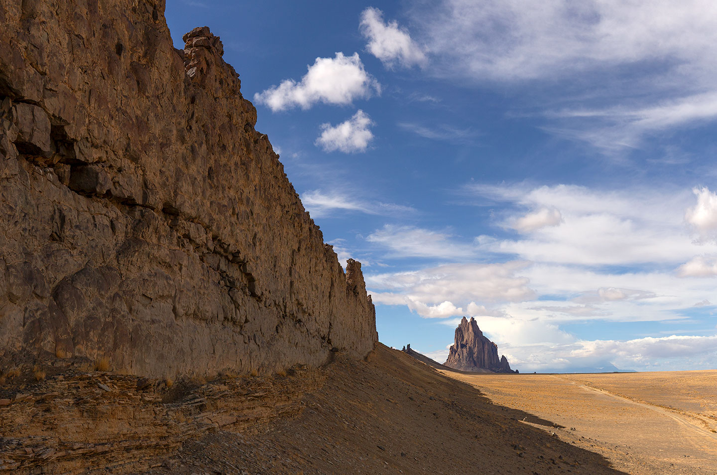
Shiprock dike wall, NM.
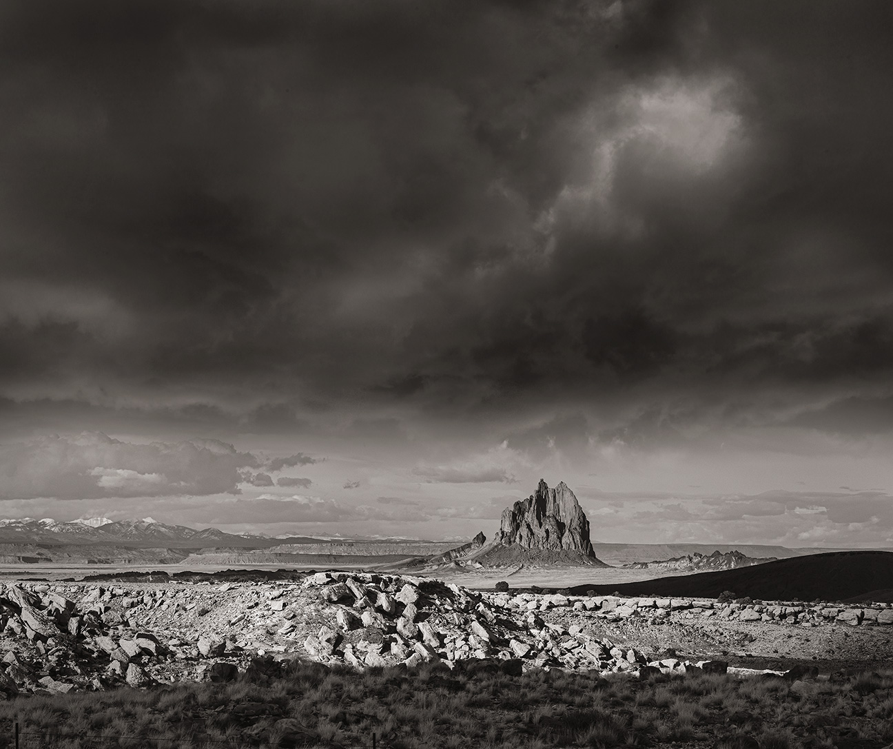
Shiprock.
“The Shiprock formation, located in northwestern New Mexico, is a dramatic and iconic geological feature that rises prominently from the desert landscape. This towering rock formation is the eroded remnant of a volcanic neck, formed around 27 million years ago during the Oligocene epoch. It consists primarily of minette, a type of volcanic rock, and stands at approximately 1,583 feet above the surrounding terrain. Shiprock is the central core of what was once a much larger volcano, with its distinctive shape resulting from millions of years of erosion that stripped away the softer outer layers, leaving the harder volcanic core exposed. Radiating from the central spire are dikes, long walls of volcanic rock that were formed as magma intruded into cracks and solidified. Shiprock’s striking appearance and geological significance make it a subject of interest for geologists and a symbol of natural beauty in the region.”
View from the south.
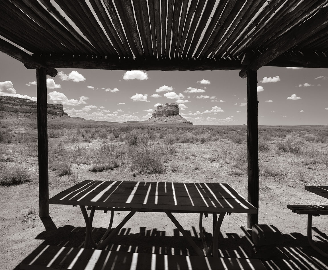
Chaco Canyon.
“Chaco Culture National Historical Park, located in northwestern New Mexico, is a significant archaeological site that preserves the remnants of an ancient Puebloan civilization. This UNESCO World Heritage Site is renowned for its monumental public and ceremonial buildings, distinctive architecture, and complex road systems, which were constructed between AD 850 and 1250. The Chacoans developed sophisticated astronomical knowledge, as evidenced by the alignment of their structures with solar and lunar cycles. The park encompasses a vast area of canyons and mesas, offering insights into the social, economic, and spiritual life of the Chacoan people. Today, it serves as a vital link to understanding the cultural heritage of the indigenous peoples of the American Southwest.”
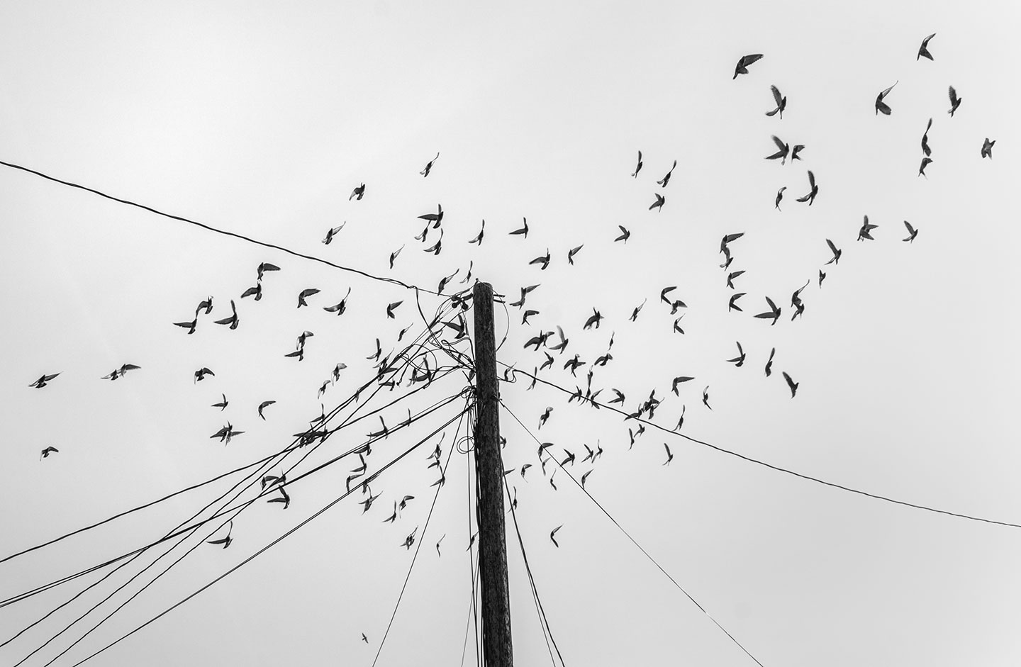
Birds (Pigeons), waiting for the man who feeds them in Ranchos de Taos.
Birds Ranchos de Taos.
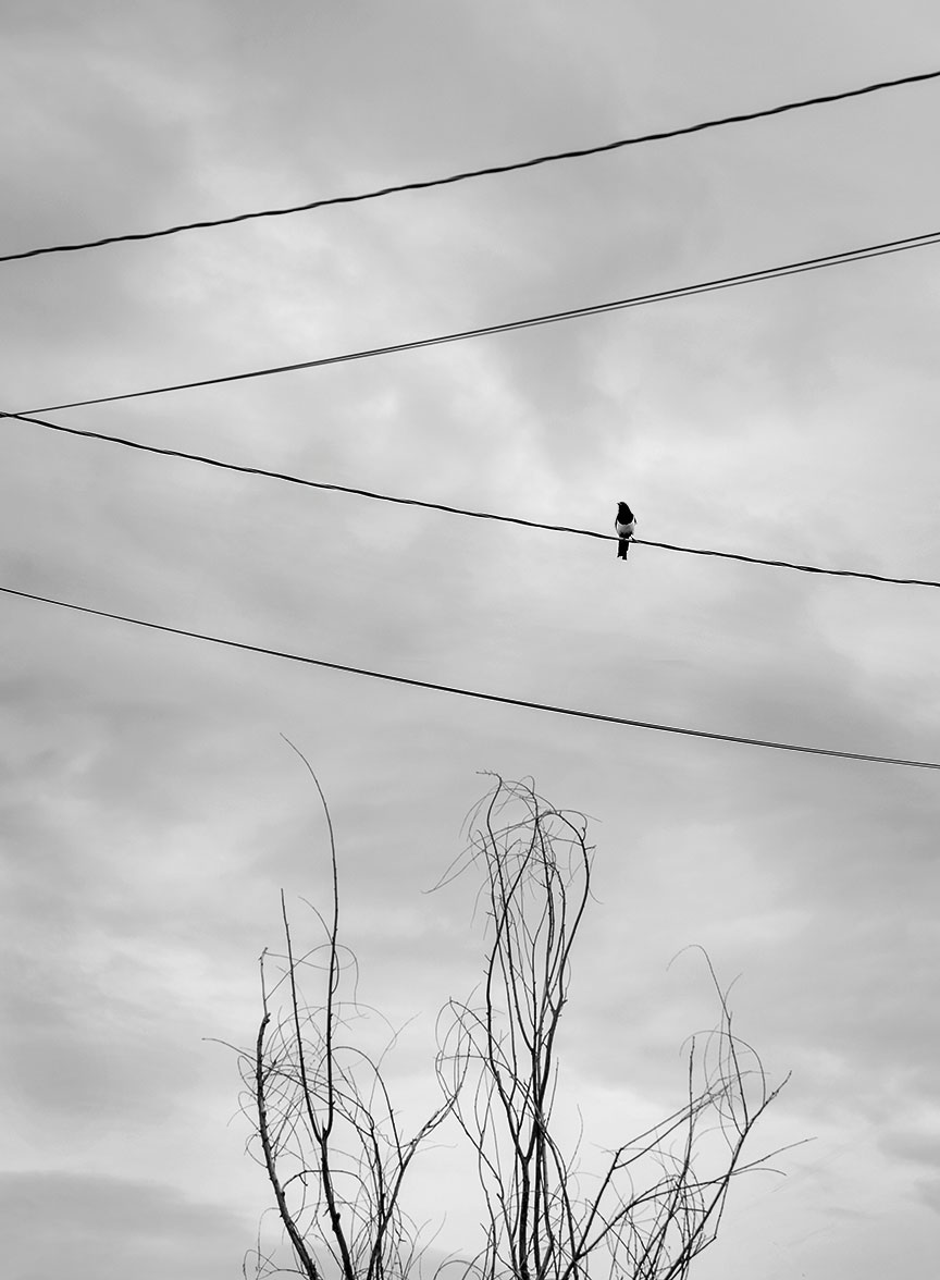
Magpie, because she/he was there.
Magpie, Ranchos de Taos.
High Road to Taos.
“The High Road to Taos is a scenic byway in northern New Mexico that stretches approximately 56 miles, connecting the city of Santa Fe to the town of Taos. This picturesque route winds through the Sangre de Cristo Mountains, offering breathtaking views of rugged landscapes, lush forests, and charming, historic villages. Along the way, travelers can explore traditional adobe architecture, visit centuries-old Spanish colonial churches, and experience the rich cultural heritage of the region’s Hispanic and Native American communities. Notable stops include the artistic enclave of Chimayó, known for its renowned Santuario de Chimayó, and the village of Truchas, which offers stunning vistas of the surrounding mountains. The High Road to Taos is celebrated for its vibrant arts scene, local crafts, and the opportunity to immerse oneself in the unique blend of cultures that define northern New Mexico.”
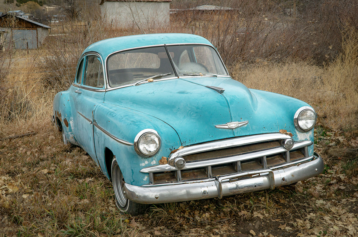
Chevy in a field on the High Road to Taos
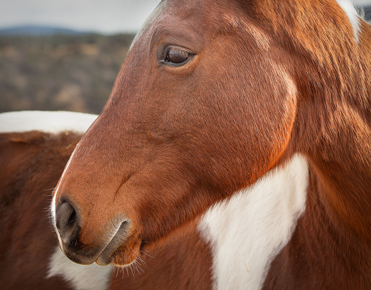
Horse on the High Road to Taos.
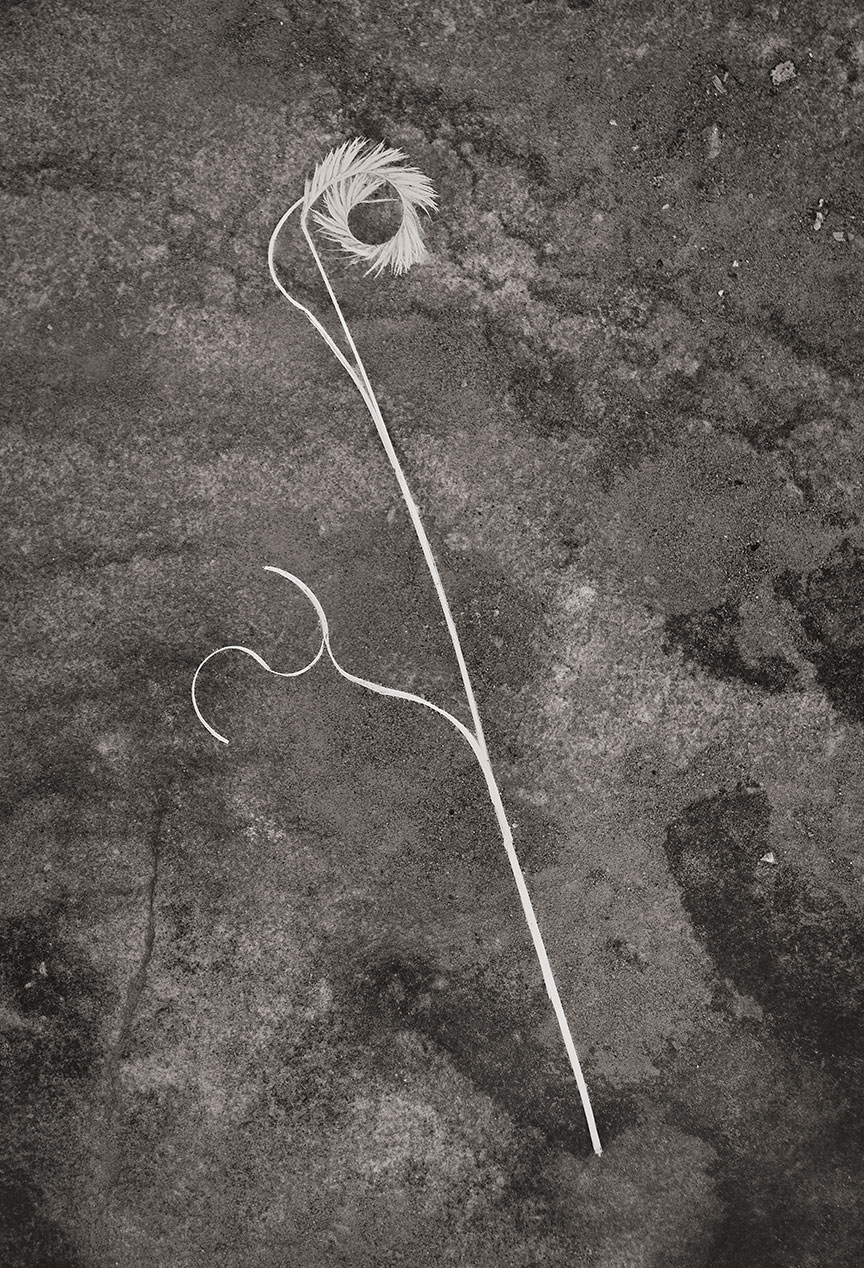
Gramma grass.
“Gramma grass refers to a group of grasses in the genus Bouteloua, which are native to the Americas. These grasses are particularly common in the prairies and plains of North America. The most well-known species is blue grama (Bouteloua gracilis), which is a dominant grass in the shortgrass prairie ecosystem.”
Gramma grass on a rock.
As always, thanks for looking. Have a great week. G